What is recorded here
Indicated was a thirty-five-metre fairy fort beside the Slaheny River until the road to Gurteens cut through its heart. The cliff took the south side while traffic rolled over the rest, erasing the circle from human memory. Yet an underground passage still waits beneath the pasture, preserving the shape the road destroyed.
In level pasture, c. 30m to the N of a tributary of the Slaheny River and overlooking the valley of the Slaheny River to the E. This rath is indicated as a roughly circular enclosure (diam. c. 35m) on the 1846 OS 6-inch map. A trackway bisects it on the 1895 OS 6-inch map; this is now the NE-SW road connecting Glanlough to the Kilgarvan road. In the 1930s Capt. D. B. O'Connell noted that the road to Gurteens ran through this possible rath and that part of it could be seen as 'a half circle on the north side of the road, and part has fallen away with the cliff on the south side' (KAS). There are no visible remains of this rath. There is a possible Man-made underground passage (KE094-023001-) in its interior.
The above description is derived from the published 'Archaeological Inventory of County Kerry. Volume I: South-West Kerry' (Dublin: Stationery Office, 2009). In certain instances the entries have been revised and updated in the light of recent research.
Date of upload: 30 May 2011
This remains an important historical record, but the official description says the monument is no longer visible or has been destroyed. The monument record does not grant public access. Check the route and ask the landowner before entering private land.
- What survives
- No visible remains or recorded as destroyed
Places near here
 CaveMan-made underground passage · 19 yd
 Kilgarvan Motor MuseumMuseum · 1459 yd
 Bird HillMountain / peak · 1632 yd
 Battle of Callannbattle · 1639 yd
 Field system in Gurteen (glanarought By.)Field system · 1.2 mi
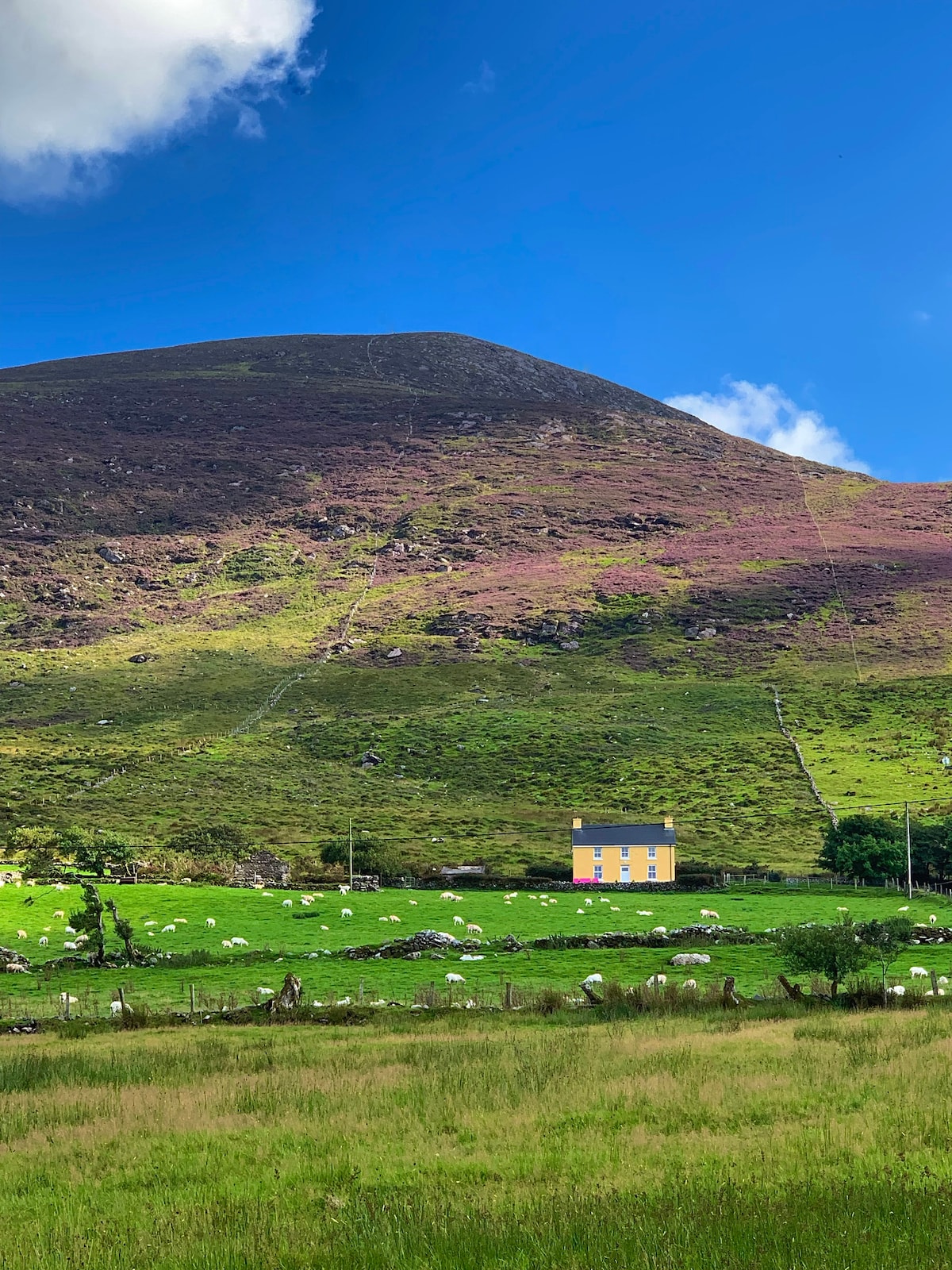 Gullaba HillMountain / peak · 1.4 mi
 Cahergal Br.Bridge · 1.7 mi
 Church (in Ruins)Church · 1.9 mi
 Great Southern & Western RailwayMemorial · 1.9 mi
 Castle (Site of)Castle, unclassified · 2.4 mi
 European YewEuropean Yew · 2.4 mi
 CaoinkeenCliff · 3.4 mi