What is recorded here
Indicated was a circular fairy fort roughly fifty metres across on an east-facing Cork slope, visible only through fence lines long after its earth disappeared under tillage. The arc from north-northwest to southeast still bends in the field boundaries, preserving the shape of a place people stopped walking around. It may have been a human home, a boundary marker, or a warning not to build there, but the land kept its outline even when memory faded.
In tillage, on E-facing slope. Depicted as hachured circular enclosure (diam. c. 50m) on 1842 OS 6-inch map; arc NNW->SE survives in field fence system on 1904 and 1938 OS 6-inch map. Levelled; no visible surface trace.
The above description is derived from the published 'Archaeological Inventory of County Cork. Volume 3: Mid Cork' (Dublin: Stationery Office, 1997). In certain instances the entries have been revised and updated in the light of recent research.
Date of upload/revision: 14 January 2009
The monument record does not grant public access. Check the route and ask the landowner before entering private land.
- What survives
- Recorded monument
Places near here
 EnclosureEnclosure, large enclosure · 1 yd
 Grave YdGraveyard · 167 yd
 St Laghteen's Roman Catholic Churchchurch/chapel · 530 yd
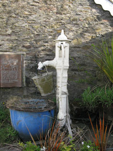 water pumpwater pump · 530 yd
 Castle (Site of)Castle, Anglo-Norman masonry castle · 1.2 mi
 Rock HillMountain / peak · 1.7 mi
 Lyradane MountainMountain / peak · 1.8 mi
 Pairc Ath Na hEornaMemorial · 2.1 mi
 Graveyard in KilmonaGraveyard · 2.4 mi
 Garrycloyne Castle (in Ruins)Castle, tower house · 3.2 mi
 St John's WellSpring · 3.6 mi
 BatsVisitor information · 5.0 mi