
What is recorded here
Yes. That is the minimum, but the minimum is still visible. An adult can use more than the child, compare the parts being changed and return an answer that fits the visible facts.
In pasture, atop low rise; castle now reduced to sod-covered foundations (c. 12.5m N-S; c. 12m E-W; H c. 0.5m), about which some stones are littered. Lewis (1837, vol. 1, 650) described it as 'a lofty square tower, built in 1535 by the Clancarthys'; photograph in Lee (1910, facing 131) shows heavily ivy-clad tower; in the 1940s it was still possible, according to Duggan (1989, 50), 'to climb to the battlements using the internal circular stairway'; the ruins were levelled 1948/49 'and all the stones were drawn away to build the boundary walls around a new housing scheme' (ibid.). Passed from Mac Carthys to Travers family in 17th century and in 19th century to Townsends (Healy 1988, 55). 1842 OS 6-inch map shows castle standing within demesne of Garrycloyne House; this house demolished in early 1940s but some demesne features survive including rusticated gate piers and ruined gate lodge, and ruined farm buildings.
The above description is derived from the published 'Archaeological Inventory of County Cork. Volume 3: Mid Cork' (Dublin: Stationery Office, 1997). In certain instances the entries have been revised and updated in the light of recent research.
Date of upload/revision: 14 January 2009
Garrycloyne Castle was built in the 15th or 16th century by the Blake family, a prominent local landowning family in County Limerick. It is remembered as a historic example of a tower house, reflecting the defensive and social structures of medieval Ireland.
The monument record does not grant public access. Check the route and ask the landowner before entering private land.
- What survives
- Recorded monument
Places near here
 Pakie HoganMemorial · 577 yd
 tunneltunnel · 916 yd
 Ballynaraha Househouse · 1145 yd
 LiosFairy fort / earthen ringfort · 1372 yd
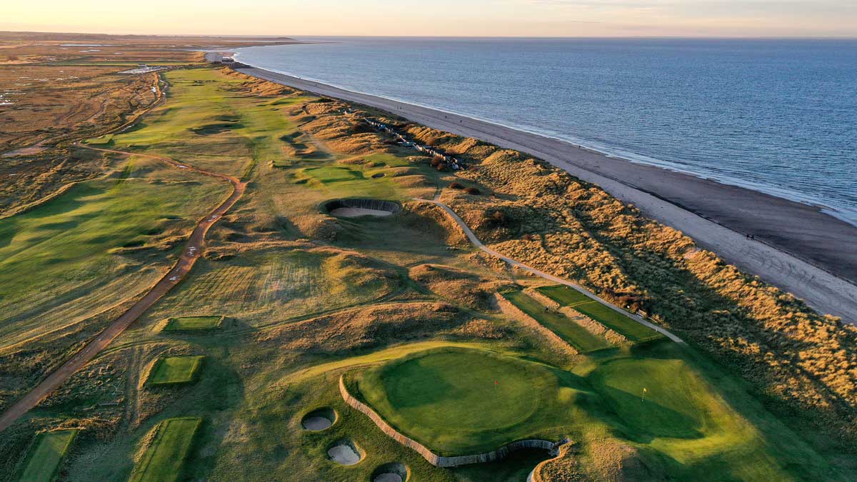 Fulacht fia in NewcastleFulacht fia · 1604 yd
 Castle (Site of)Castle, unclassified · 1.1 mi
 Pairc Ath Na hEornaMemorial · 1.2 mi
 BatsVisitor information · 1.7 mi
 Waterloo Loop WalkWalking route · 2.0 mi
 River Martin Mill & WeirVisitor information · 2.0 mi
 Mount Hillary - Knightfield LoopWalking route · 15 mi
 Clonavrick CliffCliff · 16 mi
Other information
Photo: Credit not shown in the picture search · Rights wording not checked; contact us if this picture should be removed