
What is recorded here
Galway builders raised a fortified house on level Cork tillage before the land swallowed the walls and memory. Ploughs still tear up seventeenth-century pottery, clay pipes and gunflints, proving the castle did not vanish but changed form. The field fence and rectangular outline disappeared between survey maps, yet the soil keeps dropping fragments of a life that stopped waiting to be recorded.
In level tillage; no visible surface trace of site shown on 1842 OS 6-inch map as rectangular structure, bisected by field fence, and labelled 'site of Castle'; 1904 OS 6-inch map shows both field fence and structure removed. Sherds of 17th-century pottery, clay pipe fragments, ceramic wig curlers and gunflints found in vicinity of castle during ploughing; pottery includes Sgraffito and gravel-tempered wares from North Devon as well as German stoneware; clay pipes include examples from Bristol and Cork, with a date range 1650-1690 (pers. comm. Sheila Lane). Probably site of fortified house built by Galway family (Healy 1988, 62-3).
The above description is derived from the published 'Archaeological Inventory of County Cork. Volume 3: Mid Cork' (Dublin: Stationery Office, 1997). In certain instances the entries have been revised and updated in the light of recent research.
Date of upload/revision: 14 January 2009
The monument record does not grant public access. Check the route and ask the landowner before entering private land.
- What survives
- Recorded monument
Places near here
 Fulacht fia in NewcastleFulacht fia · 422 yd
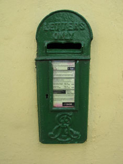 post boxpost box · 541 yd
 Water millWater mill, horizontal-wheeled · 936 yd
 Fulacht FiadhFulacht fia · 1235 yd
 Garrycloyne Castle (in Ruins)Castle, tower house · 1.1 mi
 Pairc Ath Na hEornaMemorial · 1.2 mi
 Pakie HoganMemorial · 1.4 mi
 BatsVisitor information · 2.6 mi
 Castle (in Ruins)Castle, tower house · 2.8 mi
 Waterloo Loop WalkWalking route · 2.9 mi
 River Martin Mill & WeirVisitor information · 2.9 mi
 Lion RockNamed rock · 3.5 mi
Other information
Photo: Credit not shown in the picture search · Rights wording not checked; contact us if this picture should be removed