
What is recorded here
Licence 17E0306 and 20E0004. The ditches were discovered during monitoring and subsequently partially excavated, in 2017 and 2020. Consultation of aerial imagery led to discovery of cropmarked ditches surrounding ringfort CO051-107. The ditches excavated are part of the western extent of the large cropmarked enclosure surrounding the 'ringfort'. The ditch was v-shaped in profile and measured 2.32-2.5m in width by 1.18 - 1.51m in depth. Sherds of medieval pottery (13th/14th century in date), hone stones and slag were recovered from the fills. A large crop-marked enclosure visible on 2015 aerial imagery (Google Earth pro) surrounding ringfort CO051-107. Three ditches were exposed on 2 adjacent development sites at the western side of the large cropmarked enclosure and were partially excavated in 2017 and 2020.
Compiled by: Annette Quinn (Tobar Archaeology)
Date of upload/revision: 11 March 2022
A large early-medieval ringfort (rath) in Grenagh North, identified through cropmarks and partial excavation in 2017 and 2020. No specific folklore is recorded, though its strategic location may reflect ancient territorial divisions.
The monument record does not grant public access. Check the route and ask the landowner before entering private land.
- What survives
- Recorded monument
Places near here
 Grave YdGraveyard · 167 yd
 St Laghteen's Roman Catholic Churchchurch/chapel · 530 yd
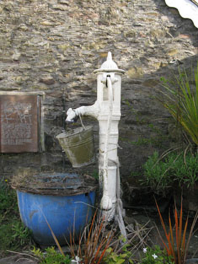 water pumpwater pump · 530 yd
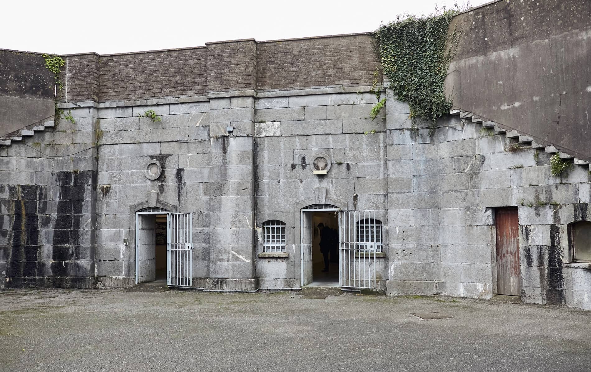 Enclosure in BallymorisheenEnclosure · 1536 yd
 Castle (Site of)Castle, Anglo-Norman masonry castle · 1.2 mi
 Rock HillMountain / peak · 1.7 mi
 Lyradane MountainMountain / peak · 1.8 mi
 Pairc Ath Na hEornaMemorial · 2.1 mi
 Graveyard in KilmonaGraveyard · 2.4 mi
 Garrycloyne Castle (in Ruins)Castle, tower house · 3.2 mi
 St John's WellSpring · 3.6 mi
 BatsVisitor information · 5.0 mi
Other information
Photo: Credit not shown in the picture search · Rights wording not checked; contact us if this picture should be removed