
What is recorded here
Knockantota South holds no ruin, only level pasture where MacCarthys built a masonry castle now vanished. The 1842 map still marks the site, preserving a shape the grass has erased. What remains is a ghost in the survey line, a castle that exists only in the memory of the land and the patience of those who read its absence.
In level pasture; no visible surface trace of castle apparently built by MacCarthys (Healy 1988, 67); marked 'site of' on 1842 OS 6-inch map.
The above description is derived from the published 'Archaeological Inventory of County Cork. Volume 3: Mid Cork' (Dublin: Stationery Office, 1997). In certain instances the entries have been revised and updated in the light of recent research.
Date of upload/revision: 14 January 2009
Built by the MacCarthy family, likely in the medieval period, Knockantota South is remembered as an archaeological site marked on early 19th-century maps, reflecting the historical presence of the MacCarthys in the region.
The monument record does not grant public access. Check the route and ask the landowner before entering private land.
- What survives
- Recorded monument
Places near here
 Rock HillMountain / peak · 1061 yd
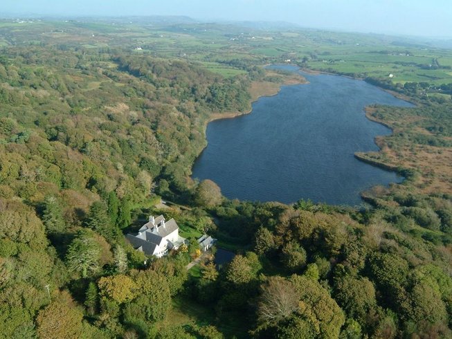 LissardFairy fort / earthen ringfort · 1280 yd
 EnclosureEnclosure, large enclosure · 1.2 mi
 Lyradane MountainMountain / peak · 1.3 mi
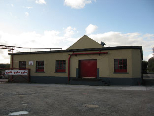 Rathduff Creamerycreamery · 1.4 mi
 St Laghteen's Roman Catholic Churchchurch/chapel · 1.5 mi
 St John's WellSpring · 2.9 mi
 Pairc Ath Na hEornaMemorial · 3.3 mi
 Graveyard in KilmonaGraveyard · 3.3 mi
 Castle Barrett (in Ruins)Castle, Anglo-Norman masonry castle · 3.8 mi
 Castle BarrettCastle · 3.8 mi
 New TipperaryVisitor information · 5.5 mi
Other information
Photo: Credit not shown in the picture search · Rights wording not checked; contact us if this picture should be removed