What is recorded here
Fairy fort / ringfort in Grange is a fairy fort or ringfort in Grange, County Sligo, Ireland. The site sits on a slight rise in pasture and appears as an oval enclosure measuring 36 metres by 28 metres on the 1837 map. A later 1912 map shows a roughly circular enclosure about 30 metres across. Thorn bushes now cover the ground completely, blocking all access to the earthworks.
Situated on slight rise in pasture. Depicted as an oval-shaped enclosure (dims. 36m NNW-SSE; 28m ENE-WSW) on the 1837 edition of the 6'' OS 6-inch map and a roughly circular hachured enclosure (diam. c.30m) on the 1912 edition. The site is now densely overgrown with thorn bushes and is inaccessible.
Compiled by: Patrick F. O'Donovan
Date of upload: 23 April 2013
The monument record does not grant public access. Check the route and ask the landowner before entering private land.
- What survives
- Recorded monument
Places near here
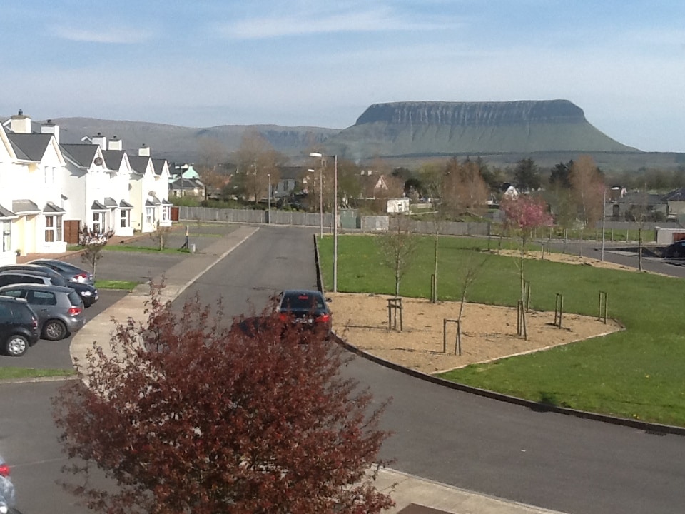 CashelmoreFairy fort / stone ringfort · 490 yd
 Enclosure in GrangeEnclosure · 547 yd
 InishnagorIslet · 692 yd
 CastleCastle, unclassified · 849 yd
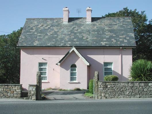 Saint Molaise'spresbytery/parochial/curate's house · 851 yd
 Catholic Church of Mary Immaculatechurch/chapel · 875 yd
 Atlantic SheepdogsHeritage attraction · 1343 yd
 Streedagh BeachVisitor information · 1.2 mi
 Connors IslandIsland · 1.2 mi
 de Cuellar Armada MonumentMemorial · 1.3 mi
 Upperglen WoodForest · 3.0 mi
 Kennel WoodWood · 3.2 mi