
What is recorded here
Situated on a slight S-facing slope in gently undulating pasture. Shown on the 1837 and 1912 editions of the 6'' OS 6-inch map as a roughly circular enclosure (diam. c 15m). Recorded in 1991 as a circular area (max. diam. c.34m) with apparent internal bank, fosse and external bank. The location of the entrance was not identified. (SMR file). The site is now densely overgrown with thorn bushes and is inaccessible.
Compiled by: Patrick F. O'Donovan
Date of upload: 21 April 2011
A local fairy fort (ringfort/rath); wider significance not recorded.
The monument record does not grant public access. Check the route and ask the landowner before entering private land.
- What survives
- Recorded monument
Places near here
 Atlantic SheepdogsHeritage attraction · 881 yd
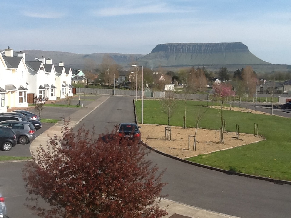 CashelmoreFairy fort / stone ringfort · 1029 yd
 Enclosure in StreedaghEnclosure · 1079 yd
 InishnagorIslet · 1088 yd
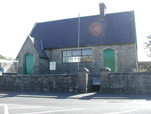 Grange Courthousecourt house · 1133 yd
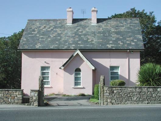 Saint Molaise'spresbytery/parochial/curate's house · 1143 yd
 CastleCastle, unclassified · 1156 yd
 Streedagh BeachVisitor information · 1716 yd
 de Cuellar Armada MonumentMemorial · 1.0 mi
 Connors IslandIsland · 1.4 mi
 Upperglen WoodForest · 2.8 mi
 Kennel WoodWood · 3.0 mi
Other information
Photo: Credit not shown in the picture search · Rights wording not checked; contact us if this picture should be removed