What is recorded here
Half a metre of raised earth beside a ruined church wall in County Mayo holds small upright stones in faded rows, a children's burial ground where the grass still covers what the field wall cannot keep hidden. The platform abuts the south wall of the ruined rectangular church, its north edge crossed by the same E-W wall that now incorporates the church, while a slumped stony scarp marks the other sides and a low break opens at the centre of the south. To walk past is to pretend the rows are not there; to stop is to admit that even a child's grave can outlast the hand that set it.
In undulating pasture, on a low rise. Ground dips gently to E towards a roughly N−S stream/drain.
A rectangular earthen platform (12m E–W; 6m N–S; H 0.6m) abuts the S wall of a ruined rectangular church (MA103-008001-). The N side of the platform is crossed by an E-W field wall, which incorporates the S wall of the church. The platform is defined on the other three sides by a slumped, sod-covered stony scarp (H 0.6m), with a dilapidated break/low area in the centre of the S side. Many low, uninscribed upright stone gravemarkers, some arranged in N−S rows, protrude from the surface of the platform, interspersed with occasional small recumbent slabs.
Compiled by: Jane O’Shaughnessy
Date of upload: 4 October 2022
A rectangular earthen platform adjacent to a ruined church, likely medieval in date; its function as a burial ground suggests a possible ecclesiastical or monastic association.
The monument record does not grant public access. Check the route and ask the landowner before entering private land.
- What survives
- Recorded monument
Places near here
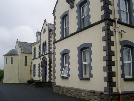 Saint Joseph's Convent of Mercyconvent/nunnery · 1708 yd
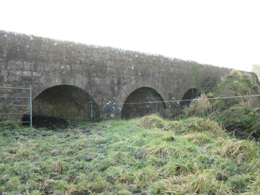 Agloragh Bridgebridge · 1746 yd
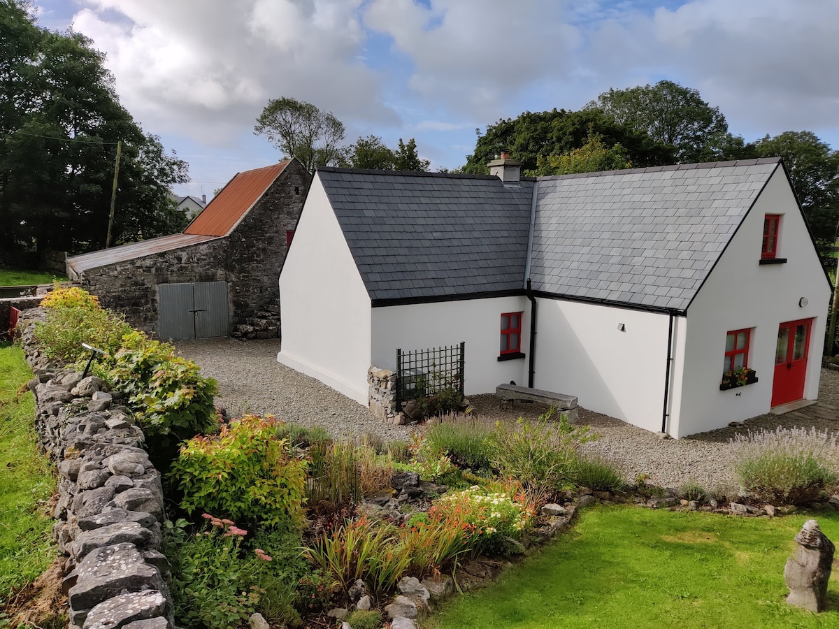 Enclosure in DevlisEnclosure · 1.0 mi
 Cross in Holywell LowerCross · 1.6 mi
 IndicatedCastle, motte · 2.3 mi
 CastleCastle, unclassified · 4.0 mi
 Oak WoodForest · 9.6 mi
 Land of the GiantsHeritage attraction · 10.0 mi
 Geoffrey's WoodForest · 10 mi
 Mass RockNamed rock · 17 mi
 bridgebridge · 1.0 mi
 Ballyhaunis Railway Stationbuilding misc · 1.0 mi