
More pictures of this place


What is recorded here
The ordinary view hides the useful part of the story. Series of eight round arches on random rubble stone tapered piers with cut-stone stringcourses to springs of arches, dressed rubble stone voussoirs, and squared rubble stone soffits.
Eight-arch rubble stone railway viaduct over road, mill race and river, opened 1878, on a shallow curved plan. Closed, 1982. Random rubble stone walls with cut-stone stringcourse, and cut-stone coping to parapets. Series of eight round arches on random rubble stone tapered piers with cut-stone stringcourses to springs of arches, dressed rubble stone voussoirs, and squared rubble stone soffits. Sited spanning road, mill race and River Mahon with grass banks to north-west and to south-east.
Series of eight round arches on random rubble stone tapered piers with cut-stone stringcourses to springs of arches, dressed rubble stone voussoirs, and squared rubble stone soffits.
An elegantly-composed railway viaduct, built to designs prepared by James Otway (1843 - 1906) by Smith Finlaysaon and Company, Glasgow, which forms a monument landmark dominating the skyline in the centre of Kilmacthomas. The civil engineering heritage significance of the composition is identified by the form and construction of the arches, which have retained their original profile. The construction in rubble stone with squared rubble stone dressings attests to high quality stone masonry, and produces an appealing textured visual effect in the landscape. The viaduct, one of a pair in the immediate locality (with 22805032/WD-15-05-32), is of particular significance as a reminder of the development of the Great Southern and Western Railway line by the Waterford, Dungarvan, and Lismore Railway Company in the late nineteenth century, which promoted the economy of smaller urban areas, such as Kilmacthomas.
The story behind this place
Series of eight round arches on random rubble stone tapered piers with cut-stone stringcourses to springs of arches, dressed rubble stone voussoirs, and squared rubble stone soffits.
This does not grant access. Most recorded buildings are privately owned; view them only from public ground unless the owner allows entry.
Places near here
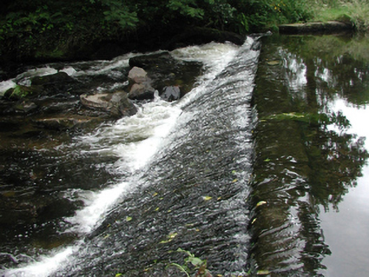 weirweir · 73 yd
 gates/railings/wallsgates/railings/walls · 113 yd
 Site of Cas.Castle, unclassified · 158 yd
 8 Arch GalleryGallery · 291 yd
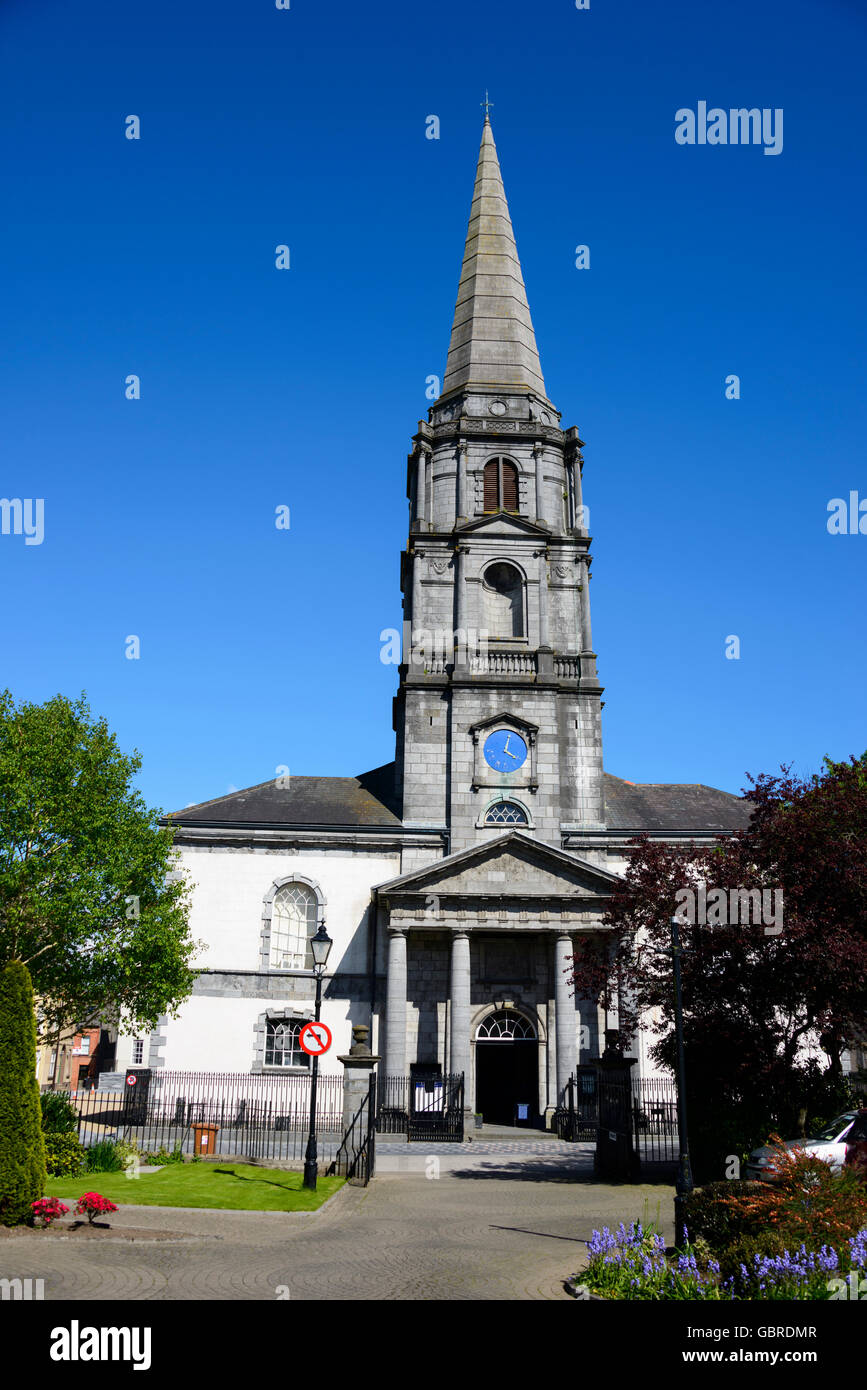 Church (Site of)Ecclesiastical enclosure · 806 yd
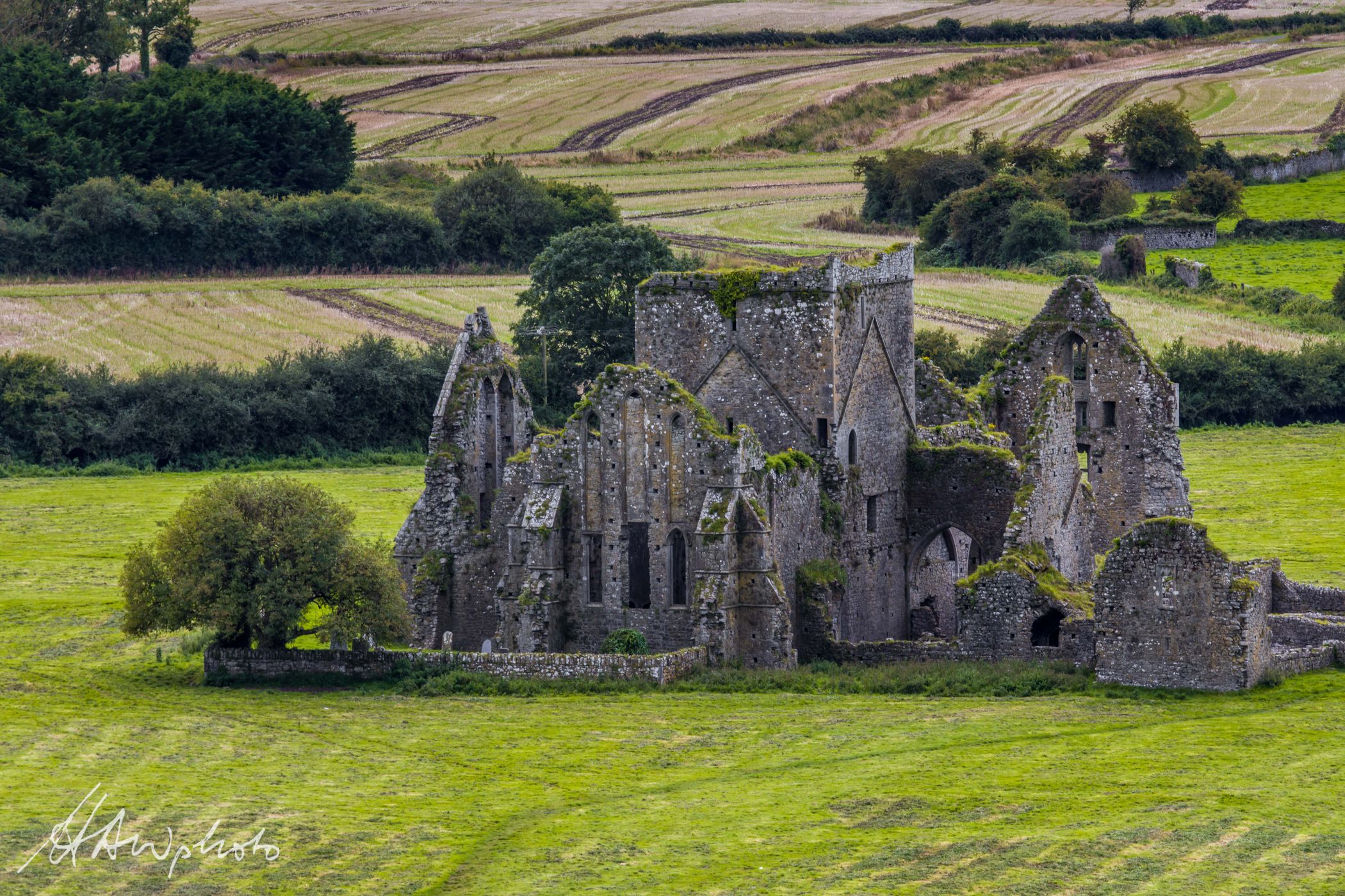 Burnt mound in GraigueshoneenBurnt mound · 860 yd
 Castle (in ruins)Castle, unclassified · 1.2 mi
 Croughaun HillMountain / peak · 3.0 mi
 Crough WoodWood · 3.8 mi
 Kilclooney WoodForest · 3.9 mi
 Magic Road (finish)Heritage attraction · 4.5 mi
 St. Bernard's WellSpring · 5.1 mi
Other information
Photo: Nigel Cox · CC BY-SA 2.0