What is recorded here
Fairy fort / ringfort in Graignagower is a fairy fort or ringfort in Graignagower, County Waterford, Ireland. The 1840 Ordnance Survey map marked a circular embanked enclosure with an external diameter of about 45 metres at the west edge of a plateau overlooking the Curraghteskin ravine. A flat-bottomed quarry, about 35 metres across and 2 metres deep, occupies the site, while another rath stands about 120 metres to the east.
Marked as a circular embanked enclosure (ext. diam. c. 45m) on the 1840 ed. of the OS 6-inch map. Situated at the W edge of a plateau overlooking the S-N ravine of the Curraghteskin stream. A flat-bottomed quarry (diam. c. 35m; D c. 2m) is on the site. Rath (WA005-025----) is c. 120m to the E.
The above description is derived from the published 'Archaeological Inventory of County Waterford' (Dublin: Stationery Office, 1999). In certain instances the entries have been revised and updated in the light of recent research.
Date of upload/revision: 13 August 2009
The monument record does not grant public access. Check the route and ask the landowner before entering private land.
- What survives
- Recorded monument
Places near here
 Grave YardGraveyard · 303 yd
 Mine in KnockatrellaneMine · 453 yd
 Fulacht fia in KnockatrellaneFulacht fia · 697 yd
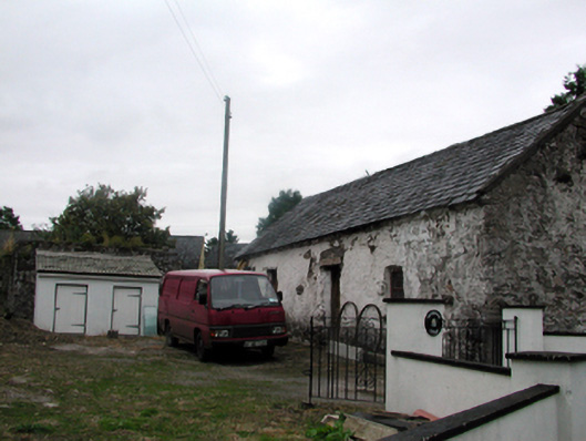 Shandarrick Cottageoutbuilding · 863 yd
 Site of CastleCastle, unclassified · 931 yd
 Laeka WoodWood · 1.1 mi
 Pigeon HillMountain / peak · 1.3 mi
 KnockeenMountain / peak · 1.9 mi
 Curraghcloney CastleCastle · 2.2 mi
 Turraphuca WoodForest · 2.4 mi
 Carey's Castle WoodsVisitor information · 4.6 mi