What is recorded here
Indicated is an overgrown oval crannog at the north edge of Bolganard Lough in County Leitrim, still marked by collapsed timber piles set two metres apart along its southern and western sides. The lough ran half a metre lower in 1991, exposing more of the mound and the buried rhythm of the pile line. A small island it is, yet the spacing of the timbers suggests people walked its edge, dropped ropes or loaded boats, and left the water to keep the rest.
Located at the N edge of the subrectangular Bolganard Lough (dims c. 550m N-S; c. 180-250m E-W), which was c. 0.5m lower than normal in 1991. This is an overgrown oval island (dims 17m E-W; 14.5m N-S; H 0.6-1m) surrounded at S and W by collapsed timber piles set 2m apart. The piles are intermittently visible elsewhere on the perimeter and within the mound material.
The above description is derived from 'The Archaeological Inventory of County Leitrim' compiled by Michael J. Moore (Dublin: Stationery Office, 2003). In certain instances the entries have been revised and updated in the light of recent research.
Date of upload: 23 September 2008
The monument record does not grant public access. Check the route and ask the landowner before entering private land.
- What survives
- Recorded monument
Places near here
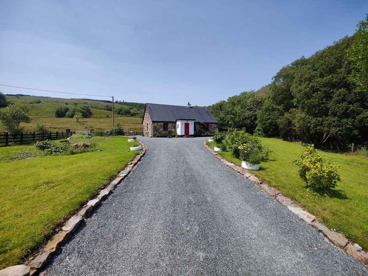 EnclosureFairy fort / earthen ringfort · 934 yd
 Enclosure in KilrushEnclosure · 1077 yd
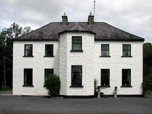 Corduff Househouse · 1.2 mi
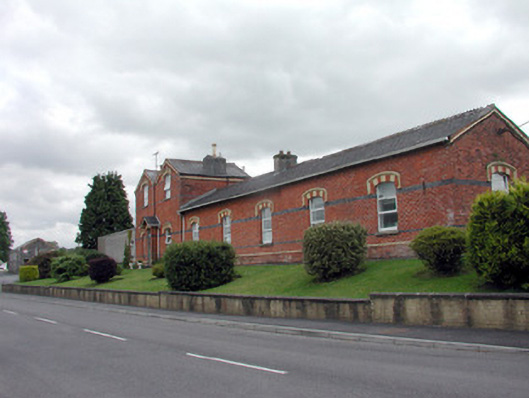 Saint Felim's Collegerailway station · 1.2 mi
 DrumgownaghMountain / peak · 1.9 mi
 DrumbadMountain / peak · 2.3 mi
 Cornagunleog ForestForest · 2.7 mi
 Swan Island pet farmHeritage attraction · 2.7 mi
 Bawn in Cherry IslandBawn · 2.9 mi
 Cherry IslandIslet · 3.0 mi
 BatteryBawn · 3.2 mi
 Black PoplarBlack Poplar · 3.3 mi