What is recorded here
On flat elevated pasture with good views in all directions. There is a large hollow depression of natural appearance in the corner of the field which might be what is showing up on an aerial photograph as an enclosure (CUCAP AYP 81, 11 July 1969). No surface remains visible elsewhere in the field.
Compiled by: Jean Farrelly
Date of upload: 26 August 2011
The monument record does not grant public access. Check the route and ask the landowner before entering private land.
- What survives
- Recorded monument
Places near here
 Enclosure in ToberadoraEnclosure · 987 yd
 IndicatedFairy fort / earthen ringfort · 1084 yd
 Twoford Bridgesbridge · 1323 yd
 Milltown CastleCastle · 1497 yd
 Nodstown CastleCastle, tower house · 1.2 mi
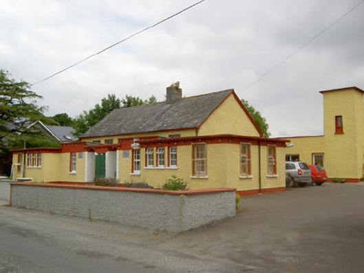 Gaile National Schoolschool · 1.2 mi
 Killough Hill (site of)Mountain / peak · 2.5 mi
 Clonoulty HillMountain / peak · 2.9 mi
 Cormackstown Heritage CentreMuseum · 4.1 mi
 Drum WoodWood · 4.2 mi
 Wildlife CorridorWood · 5.4 mi
 Enclosure in Newtown (holycross Par.)Enclosure · 1469 yd