
What is recorded here
Located in pasture on fairly level ground which slopes off to SE down to the River Suir. An irregular-shaped area (diam. 32m N-S) defined by the low remains of a denuded bank in at N and SW (Wth 2.7m; int. H 0.41m; ext. H 1.2m). In the NW quadrant the bank has been completely levelled and in the SE it has been reduced to a scarp. The NE quadrant has been quarried along its edge and it is not possible to determine the original extent of the site on this side. Quarrying also extended to the N and NW sectors of the site.
The above description is derived from 'The Archaeological Inventory of County Tipperary. Vol. 1 - North Tipperary' compiled by Jean Farrelly and Caimin O'Brien (Dublin: Stationery Office, 2002). In certain instances the entries have been revised and updated in the light of recent research.
Date of upload/revision: 22 September 2008
The monument record does not grant public access. Check the route and ask the landowner before entering private land.
- What survives
- Recorded monument
Places near here
 Twoford Bridgesbridge · 204 yd
 Milltown CastleCastle · 1557 yd
 IndicatedFairy fort / earthen ringfort · 1624 yd
 RathkennanCastle, motte and bailey · 1689 yd
 Church FieldChurch · 1753 yd
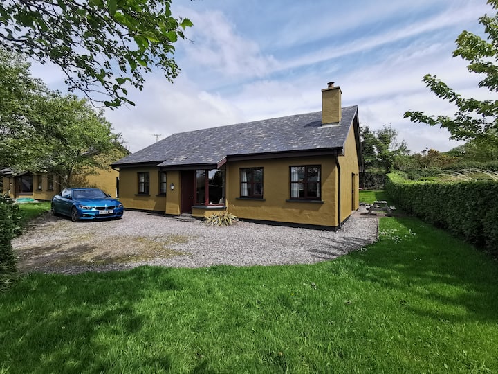 Enclosure in Milltown (clogher Par.)Enclosure · 1.3 mi
 Killough Hill (site of)Mountain / peak · 2.6 mi
 Clonoulty HillMountain / peak · 2.9 mi
 Cormackstown Heritage CentreMuseum · 3.3 mi
 Drum WoodWood · 3.8 mi
 Wildlife CorridorWood · 4.9 mi
 Lár na PáirceMuseum · 5.5 mi
Other information
Photo: Credit not shown in the picture search · Rights wording not checked; contact us if this picture should be removed