
What is recorded here
On slightly elevated pasture with good views in all directions. The monument consists of a D-shaped area (int. diam. 46m NW-SE; 45m E-W; overall diam. 62m NE-SW) enclosed by an earth and stone bank (base Wth 4m; top Wth 1.5m; int. H 0.6m; ext. H 1.2m), external fosse (top Wth 4.5m; base Wth 3.9m; ext. D 0.5m) and outer bank (top Wth 0.7m; base Wth 1m; ext. H 0.3m) with possible causewayed entrance gap (Wth 5m) at NE. There are modern cattle gaps at NW and SE, the outer bank appears to be a later boundary planted with hawthorns as a way of enclosing the ringfort from the rest of the field. The straight side of the D-shaped enclosure at SW measures 43m long. There is a small quarry (dims. 7m NE-SW x 2m N-S; D 0.5m) in the N quadrant of the interior.
Compiled by: Jean Farrelly
Date of upload: 26 August 2011
The monument record does not grant public access. Check the route and ask the landowner before entering private land.
- What survives
- Recorded monument
Places near here
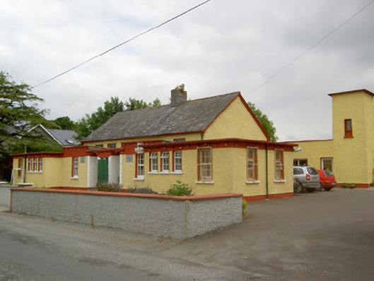 Gaile National Schoolschool · 1248 yd
 Twoford Bridgesbridge · 1420 yd
 Enclosure in ToberadoraEnclosure · 1522 yd
 Enclosure in Newtown (holycross Par.)Enclosure · 1624 yd
 Milltown CastleCastle · 1.4 mi
 Nodstown CastleCastle, tower house · 1.6 mi
 Killough Hill (site of)Mountain / peak · 1.9 mi
 Clonoulty HillMountain / peak · 3.5 mi
 Cormackstown Heritage CentreMuseum · 3.8 mi
 Gift Horse GalleryGallery · 4.5 mi
 Drum WoodWood · 4.6 mi
 Wildlife CorridorWood · 4.8 mi
Other information
Photo: Credit not shown in the picture search · Rights wording not checked; contact us if this picture should be removed