What is recorded here
Glen Lower holds a flat stone, one and a half metres tall and a metre and three quarters wide, set in good land above a dip to the south. Its edges are worn smooth, as if hands had rubbed them during long conversations, or rain had simply forgotten to erase it. The stone does not point to a distant event. It points downward, toward the lower ground where people may have stood, watched, or buried what they could not carry.
A standing stone c. 1.5m high × 1.3m wide × 0.3m thick; N-S. Situated in an area of fairly good land, on level ground overlooking lower ground to the S.
The above description was derived from the 'Archaeological Survey of County Donegal. A description of the field antiquities of the County from the Mesolithic Period to the 17th century.' Compiled by: Brian Lacey with Eamon Cody, Claire Cotter, Judy Cuppage, Noel Dunne, Vincent Hurley, Celie O'Rahilly, Paul Walsh and Seán Ó Nualláin (Lifford: Donegal County Council, 1983). In certain instances the entries have been revised and updated.
Date of upload: 22 September 2008
The monument record does not grant public access. Check the route and ask the landowner before entering private land.
- What survives
- Recorded monument
Places near here
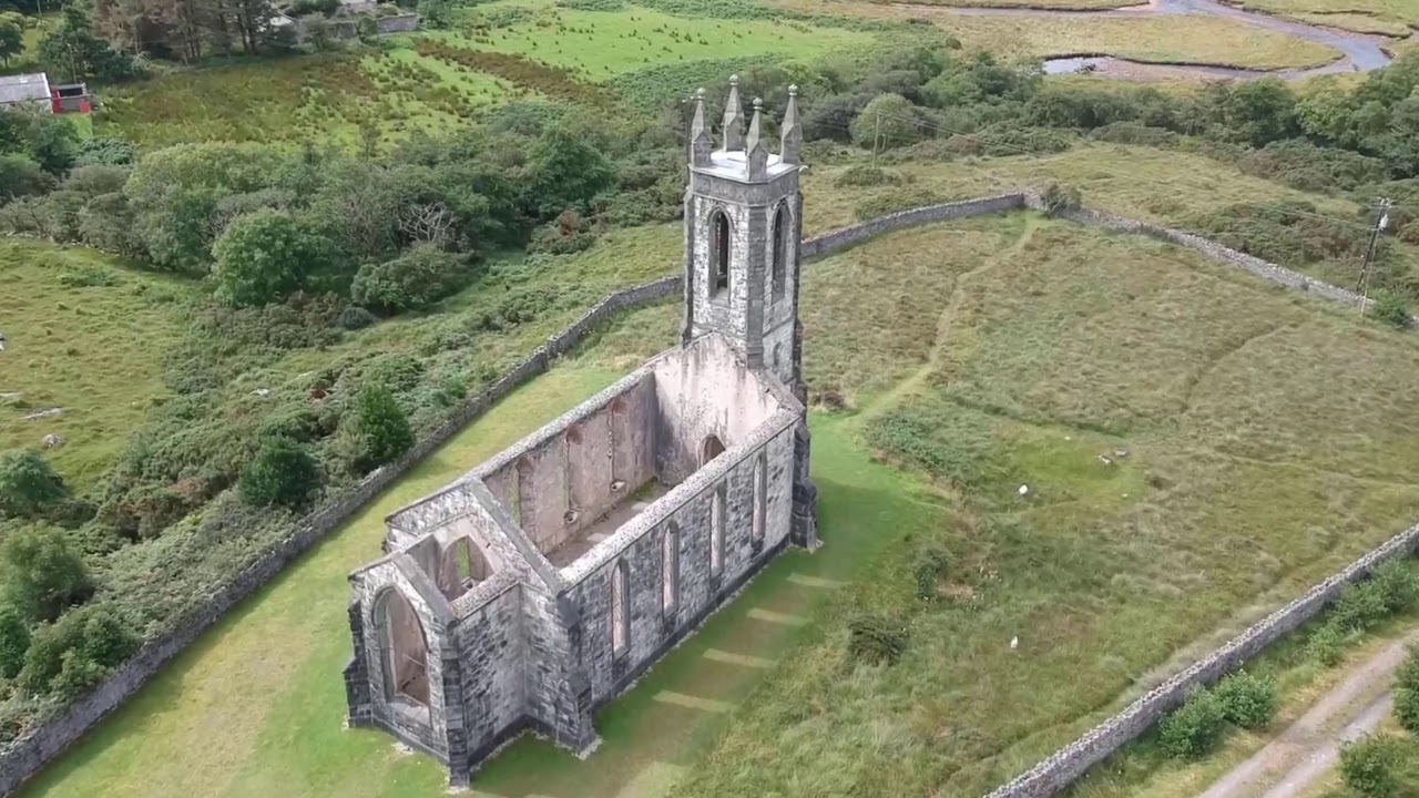 Church in Glen LowerChurch · 96 yd
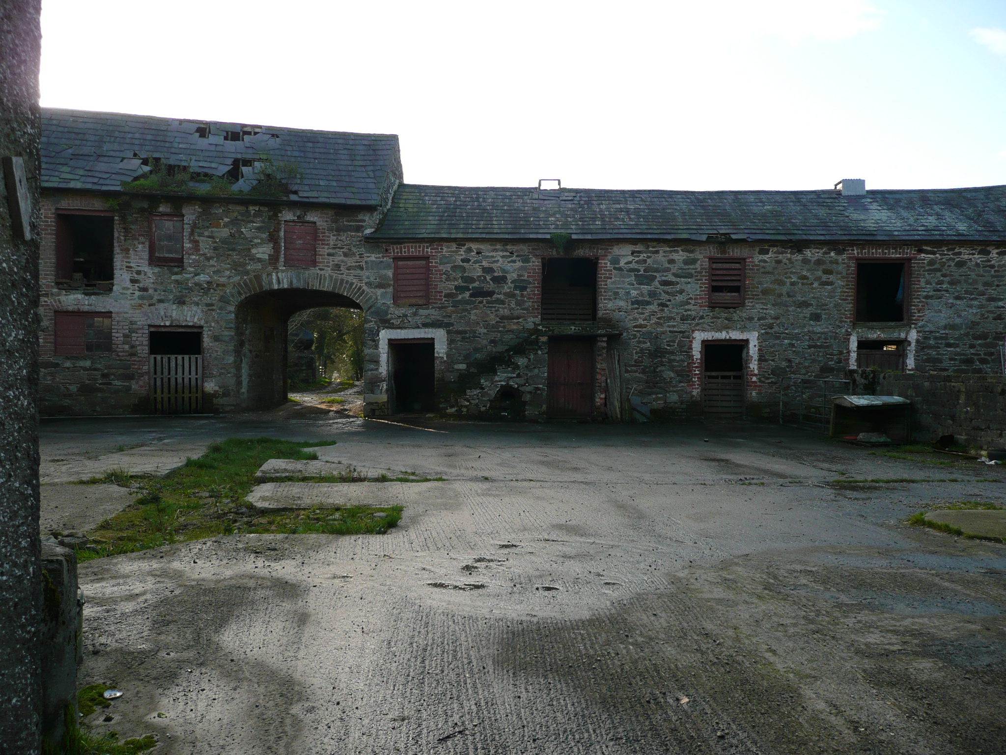 farmyard complexfarmyard complex · 985 yd
 Drummonaghan WoodForest recreation place · 1052 yd
 European BeechEuropean Beech · 1617 yd
 Tullyaughnish Old Church GraveyardGraveyard · 1.3 mi
 Bawn in RathmeltonBawn · 1.3 mi
 Ballyarr Stone RingfortFairy fort / stone ringfort · 1.6 mi
 Ardnaree Raised Fairy FortFairy fort / earthen ringfort · 2.2 mi
 Castle (Site of)Castle, unclassified · 3.8 mi
 Loughsalt MountainMountain / peak · 5.5 mi
 Croaghan HillMountain / peak · 5.8 mi
 Mullanadee ShoreBeach / strand · 6.1 mi