What is recorded here
Galmoystown holds a broad earthen ring on a narrow ridge, its grassy bank rising almost two metres above the surrounding lowland. The structure contains a smaller circular hut site and keeps a narrow northern entrance, suggesting layered human use rather than a single sudden build. Local names call it a fairy fort, but the visible earthwork points to a defended or domestic place where people lived, worked, and perhaps fled when danger came.
Situated on a N-S undulating ridge in a low-lying landscape. This is a raised subcircular and grass-covered area (dims 32m N-S; 27m E-W) defined by an earthen bank (Wth of base 6-8m; int. H 0.3m; ext. H 1.4-1.8m) and an outer fosse (Wth of top 8-10m; Wth of base 2-4m; ext. D 0.2m). The original entrance (Wth of base 3.9m) is at NNE. The interior is overlain by a NE-SW field bank just S of the centre, and it incorporates the SE part of the bank (Wth of base 6m; H 0.1-0.4m) defining a small hut-site (int. diam. 5m).
The above description is derived from the published 'Archaeological Inventory of County Meath' (Dublin: Stationery Office, 1987). In certain instances the entries have been revised and updated in the light of recent research.
Compiled by: Michael Moore
Date of revision: 9 January 2019
The monument record does not grant public access. Check the route and ask the landowner before entering private land.
- What survives
- Recorded monument
Places near here
 Enclosure in Rathbrack (fore By., Moylagh Par.)Enclosure · 798 yd
 Enclosure in KnockloughEnclosure · 1057 yd
 Slieve GullionMountain / peak · 1130 yd
 Kells HillMountain / peak · 1510 yd
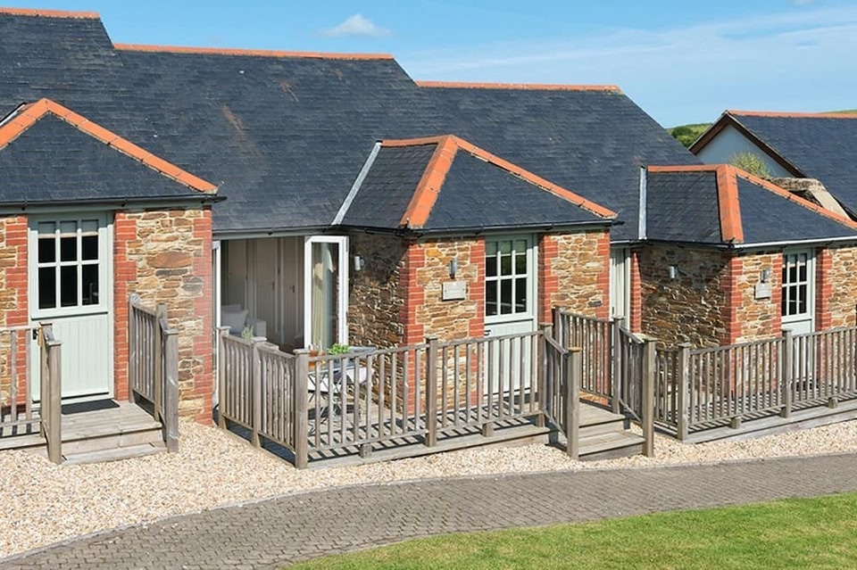 Keeper's CottageRuins · 1.0 mi
 The Keeper's FieldForest · 1.1 mi
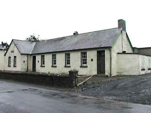 Gortloney National Schoolschool · 1.3 mi
 Green CastleCastle, unclassified · 1.4 mi
 Bradley's WoodWood · 1.6 mi
 CastleCastle, tower house · 2.0 mi
 Zip WireHeritage attraction · 2.6 mi
 LoughcrewMegalithic tomb cemetery · 3.2 mi