What is recorded here
Situated on a broad shelf at the bottom of the E-facing slope of a prominent hill known as Slieve Gullion. A circular enclosure (diam. c. 25m) defined by what appears to be a fosse is visible on Google Earth (05/10/2009) but not on subsequent dates. It is also faintly visible on MapGenie images (1995) but not on other series. Nor is it depicted directly on any OS map, although a SE-NW laneway on the 1908 edition of the OS 6-inch map diverts to the E to avoid this feature. The ditch-barrow (ME015-132----) is c. 50m to the E, and both features were first reported by Jean Charles Caillére. See the attached enhanced view from Google Earth (05/10/2009) Compiled by: Michael Moore Date of upload: 12 July 2022
Situated on a broad shelf at the bottom of the E-facing slope of a prominent hill known as Slieve Gullion. A circular enclosure (diam. c. 25m) defined by what appears to be a fosse is visible on Google Earth (05/10/2009) but not on subsequent dates. It is also faintly visible on MapGenie images (1995) but not on other series. Nor is it depicted directly on any OS map, although a SE-NW laneway on the 1908 edition…
From the National Monuments Service (Archaeological Survey of Ireland) record ME015-131
The monument record does not grant public access. Check the route and ask the landowner before entering private land.
- What survives
- Recorded monument
Places near here
Photo credits
- National Inventory of Architectural Heritage
- Sitomon, Wikimedia Commons · CC BY-SA 2.0
- Alvesgaspar, Wikimedia Commons · CC BY-SA 3.0
- Mike Searle, Geograph · CC BY-SA 2.0
- John M, Wikimedia Commons · CC BY-SA 2.0
- Bill Griffiths, Wikimedia Commons · CC BY-SA 2.0
- Haydn Hammerton, Wikimedia Commons · CC BY-SA 4.0
- James Fergusson, after E. Conwell, Wikimedia Commons · Public domain
- Bob Embleton, Geograph · CC BY-SA 2.0
Slieve GullionMountain / peak · 211 yd Loughcrew HouseGate lodge · 1372 ydThe Big DounArchaeological place · 1626 ydGortloney National SchoolSchool · 1.2 miEuropean Yew2.1 miCommon Lime2.1 miMoatCastle, motte · 2.2 miLoughcrewMegalithic tomb cemetery · 2.6 miSlieve Na CalliaghMountain / peak · 2.8 miLoughcrew Megalithic TombsHeritage attraction · 2.9 miHag's ChairArchaeological place · 2.9 miEarthen TumulusCastle, motte · 3.3 mi
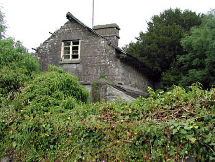 Loughcrew HouseGate lodge · 1372 ydThe Big DounArchaeological place · 1626 yd
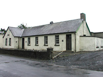 Gortloney National SchoolSchool · 1.2 mi
 European Yew2.1 mi
 Common Lime2.1 mi
 MoatCastle, motte · 2.2 mi
 LoughcrewMegalithic tomb cemetery · 2.6 mi
 Slieve Na CalliaghMountain / peak · 2.8 mi
 Loughcrew Megalithic TombsHeritage attraction · 2.9 mi
 Hag's ChairArchaeological place · 2.9 mi
 Earthen TumulusCastle, motte · 3.3 mi
More archaeology and monuments in County Meath · All of County Meath
What do you know about this place?