What is recorded here
The Big Doun is recorded as an archaeological place in County Meath.
From OpenStreetMap (© OpenStreetMap contributors) w347944290
Places near here
Photo credits
- National Inventory of Architectural Heritage
- Alvesgaspar, Wikimedia Commons · CC BY-SA 3.0
- Sitomon, Wikimedia Commons · CC BY-SA 2.0
- Mike Searle, Geograph · CC BY-SA 2.0
- Bill Griffiths, Wikimedia Commons · CC BY-SA 2.0
- John M, Wikimedia Commons · CC BY-SA 2.0
- Haydn Hammerton, Wikimedia Commons · CC BY-SA 4.0
- James Fergusson, after E. Conwell, Wikimedia Commons · Public domain
- Bob Embleton, Geograph · CC BY-SA 2.0
MoatFairy fort / earthen ringfort · 1481 ydSlieve GullionMountain / peak · 1.0 mi Loughcrew HouseGate lodge · 1.2 miLoughcrew HouseGate lodge · 1.5 miCommon Lime2.6 miEuropean Yew2.6 miMoatCastle, motte · 2.7 miSlieve Na CalliaghMountain / peak · 2.8 miLoughcrewMegalithic tomb cemetery · 2.8 miLoughcrew Megalithic TombsHeritage attraction · 2.8 miHag's ChairArchaeological place · 2.9 miEarthen TumulusCastle, motte · 2.9 mi
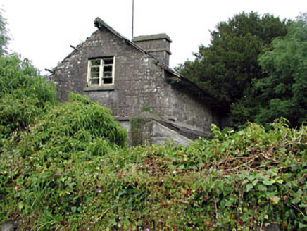 Loughcrew HouseGate lodge · 1.2 mi
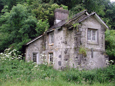 Loughcrew HouseGate lodge · 1.5 mi
 Common Lime2.6 mi
 European Yew2.6 mi
 MoatCastle, motte · 2.7 mi
 Slieve Na CalliaghMountain / peak · 2.8 mi
 LoughcrewMegalithic tomb cemetery · 2.8 mi
 Loughcrew Megalithic TombsHeritage attraction · 2.8 mi
 Hag's ChairArchaeological place · 2.9 mi
 Earthen TumulusCastle, motte · 2.9 mi
More archaeology and monuments in County Meath · All of County Meath
What do you know about this place?