What is recorded here
In pasture in basin of Owvane river near SE foot of mountain ridge. Stone to SE lies prostrate, is 1m by 0.4m and 3.3m L; OS Name Book (1896) records stone upright. Second stone is 0.7m by 0.5m and 1.35m H. (O Nualláin 1988, 251, no.166).
The above description is derived from the published 'Archaeological Inventory of County Cork. Volume 1: West Cork' (Dublin: Stationery Office, 1992). In certain instances the entries have been revised and updated in the light of recent research.
Date of upload/revision: 14 January 2009
Likely dating to the Neolithic or Bronze Age, the stones may have functioned as boundary markers, ritual monuments, or astronomical alignments. Local folklore or specific use is not recorded, though their positioning near a river and mountain ridge suggests a landscape of cultural significance.
The monument record does not grant public access. Check the route and ask the landowner before entering private land.
- What survives
- Recorded monument
Places near here
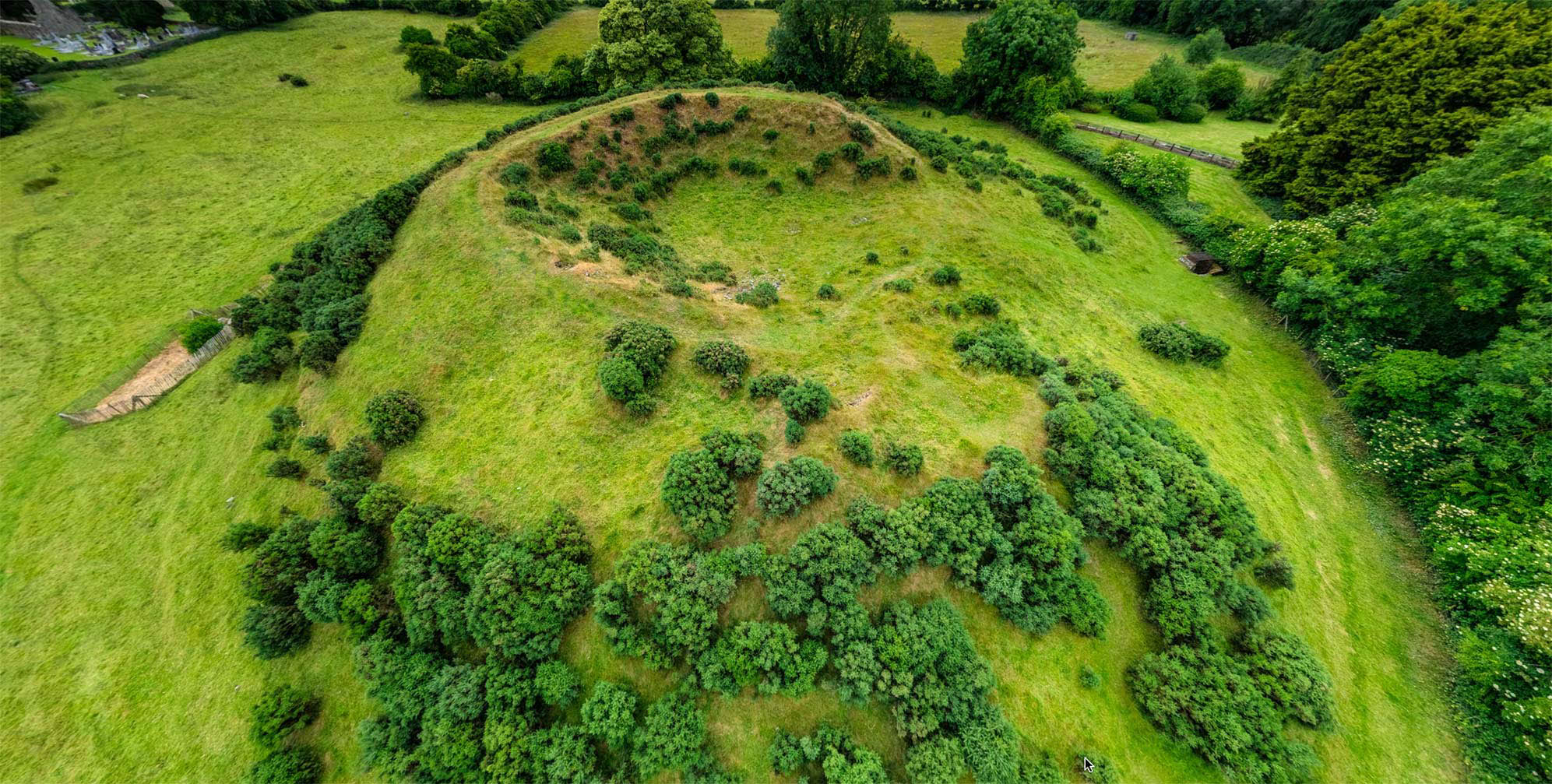 Burial ground in Dromduff EastBurial ground · 717 yd
 Man-made underground passage in Lisheen (bantry By.)Man-made underground passage · 1590 yd
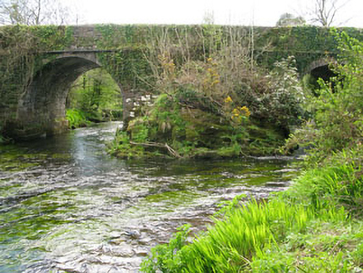 Lisheen Bridgebridge · 1735 yd
 Rose Cottagehouse · 1.2 mi
 Bulls PocketMountain / peak · 1.3 mi
 Daly's LoopWalking route · 1.3 mi
 Coomhola Salmon Trust (Streamscapes)Museum · 1.5 mi
 Carriganass CastleCastle · 1.8 mi
 Snave StrandBeach / strand · 1.8 mi
 Kealkill stone circleVisitor information · 2.1 mi
 Castle (in Ruins)House, fortified house · 2.1 mi
 KnockbreteenMountain / peak · 2.4 mi