What is recorded here
In pasture, on a plateau with good views in all directions; the Partry Mountains delimit the far horizon SW-NW.
A circular embanked enclosure (diam. c. 35-40m) is shown on the 1838 OS 6-inch map; it is not shown on later map editions.
It has been partly levelled. The remains consist of a low, subcircular platform (24.5m NW-SE; c. 21m NE-SW) defined by a broadly sloping scarp. A field bank, with a silted-up field ditch on its N side, crosses the NW third of the enclosure on a NE-SW axis. The portion of the enclosure lying to N of the field fence is better preserved with a relatively well defined scarp (H 0.5-0.75m; Wth slope c. 2m), surrounded by a small grove of pine trees, four of which are planted on the enclosure scarp.
Compiled by: Jane O’Shaughnessy
Date of upload: 4 August 2023
The monument record does not grant public access. Check the route and ask the landowner before entering private land.
- What survives
- Recorded monument
Places near here
 Enclosure in Lecarrow (kilmaine By., Kilcommon Par.)Enclosure · 882 yd
 Castle in ruinsCastle, unclassified · 983 yd
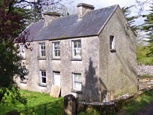 farm housefarm house · 1109 yd
 Castle (in ruins)Castle, unclassified · 1134 yd
 Enclosure in CoolconEnclosure · 1687 yd
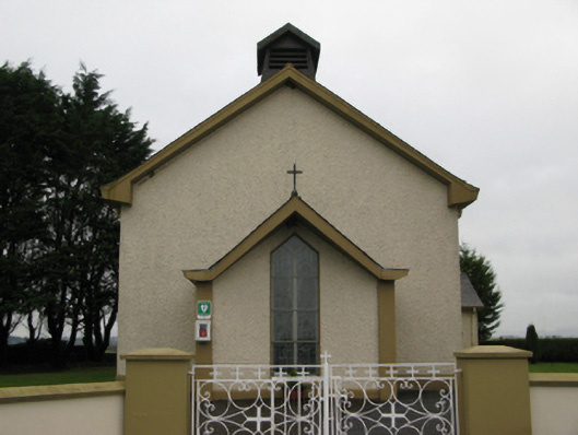 Saint Joseph's Catholic Churchchurch/chapel · 1.2 mi
 European YewEuropean Yew · 3.4 mi
 Geoffrey's WoodForest · 4.7 mi
 Mass RockNamed rock · 7.3 mi
 Ross Errilly FriaryHeritage attraction · 11 mi
 IndicatedEnclosure · 1.2 mi
 Enclosure in DavrosEnclosure · 1.4 mi