
What is recorded here
Enclosure in Lecarrow is a levelled oval border, still visible as a shallow ridge thirty-five metres long beside Castleville farm. The canalised stream runs two hundred metres west, past the castle bank, while Corraun Lough waits half a kilometre south. Whatever lived inside that border has been flattened, but the shape remains large enough to walk across and imagine occupied.
Located on a low elevation. There is a canalised stream/drain 200m to W, with a castle (MA119-032---) on its E bank. Castleville farm is c. 50m to W. There is a lake, Corraun Lough, half a kilometre to SSW.
This enclosure has been levelled, but a slightly raised oval area (c. 35m N−S; c. 30m E−W) defined by the remains of a levelled scarp can still be discerned.
Compiled by: Jane O’Shaughnessy
Date of upload: 4 August 2023
The monument record does not grant public access. Check the route and ask the landowner before entering private land.
- What survives
- Recorded monument
Places near here
 Castle in ruinsCastle, unclassified · 195 yd
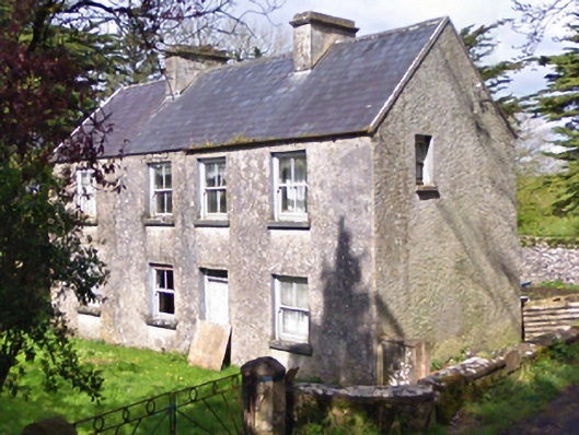 farm housefarm house · 262 yd
 IndicatedEnclosure · 1363 yd
 Enclosure in DavrosEnclosure · 1579 yd
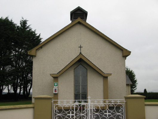 Saint Joseph's Catholic Churchchurch/chapel · 1758 yd
 Castle (in ruins)Castle, unclassified · 1.1 mi
 European YewEuropean Yew · 2.9 mi
 Geoffrey's WoodForest · 5.1 mi
 Mass RockNamed rock · 7.3 mi
 Ross Errilly FriaryHeritage attraction · 10 mi
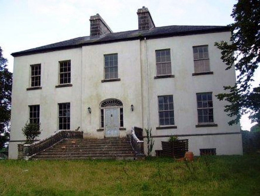 Annefield Housecountry house · 1.3 mi
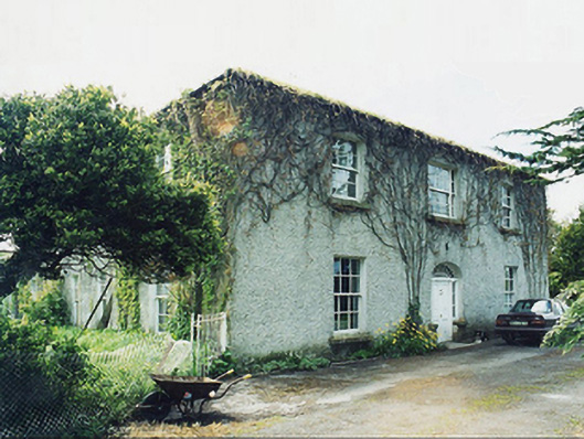 Greaghansfarm house · 1.4 mi
Other information
Photo: Credit not shown in the picture search · Rights wording not checked; contact us if this picture should be removed