
What is recorded here
In level, lowlying pasture; views are quite good to NW−NE, but in general are not extensive.
A roughly circular enclosure (diam. 45-50m) is shown on 1838 OS 6-inch map; it is not shown on later map editions.
The remains consist of an oblong earthen platform (48m NNW-SSE; 45m ENE-WSW) defined by a broadly sloping scarp (Wth slope 2.6m, H 0.4m at W; Wth slope 4m, H 0.65m at E) which retains a slightly raised internal lip at SE and S. The N arc of the scarp (H 0.3m) has been levelled to a low broadly sloping rise/undulation.
Outside the scarp, an infilled fosse (W 2.5-3m) is evident as a shallow surface depression. At E the scarp has a pronounced slump extending over the fosse. This may be the remnants of an entrance causeway (W c. 4m).
The scarp at NW−E is distinctly curvilinear in plan, but the S end of the E side, the S side and the S end of the W side are linear, with rounded corners at SE and SW. The straight sides raise the possibility that this is the remains of a moated site. However, the N end of the enclosure is clearly curvilinear and the enclosure is depicted as circular on the 1838 map, suggesting that it is a rath, which was modified and partly levelled in the past.
A field fence/ property boundary traverses the NW end of the site on an ENE-WSW axis.
Compiled by: Jane O’Shaughnessy
Date of upload: 23 June 2023
A local fairy fort (ringfort/rath); wider significance not recorded.
The monument record does not grant public access. Check the route and ask the landowner before entering private land.
- What survives
- Recorded monument
Places near here
 Enclosure in DavrosEnclosure · 931 yd
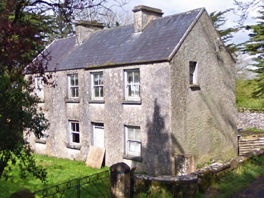 farm housefarm house · 1104 yd
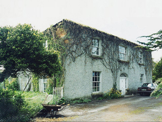 Greaghansfarm house · 1146 yd
 Castle in ruinsCastle, unclassified · 1216 yd
 Enclosure in Lecarrow (kilmaine By., Kilcommon Par.)Enclosure · 1363 yd
 Castle (in ruins)Castle, unclassified · 1.8 mi
 European YewEuropean Yew · 2.7 mi
 SycamoreSycamore · 5.1 mi
 Mass RockNamed rock · 7.7 mi
 Ross Errilly FriaryHeritage attraction · 9.7 mi
 School of FalconryHeritage attraction · 11 mi
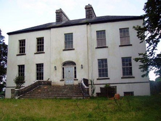 Annefield Housecountry house · 1327 yd
Other information
Photo: Credit not shown in the picture search · Rights wording not checked; contact us if this picture should be removed