What is recorded here
No entrance, no gate, no door. The fort is a complete oval of grass and earth, twenty-eight metres across, sitting on a knoll where the Slieve na Calliagh ridge begins. The bank is low, the ditch has vanished into lush growth, and the northern edge has worn into a scarp, yet the shape remains unbroken. Whatever lived inside did not need a doorway, or the doorway has been erased by time and cattle. The fort keeps its own counsel on the western foothills, visible still from above, waiting for someone to stop asking where the entrance is and notice that the whole circle is the answer.
Situated on a knoll at the W foothills of the Slieve na Calliagh ridge. This is an oval grass-covered area (dims 28m N-S; c. 26m E-W) defined by a slight earthen bank (Wth 1-3m; int. H 0.2m; ext. H 0.6m) E-S-W, with sight traces of a fosse (Wth 2m) visible as lush grass growth at SE. The perimeter is reduced to a scarp (at N: Wth 3m; H 0.4m) W-N-E. There is no identifiable original entrance. It is visible on digitalglobe images.
Compiled by: Michael Moore
Date of upload; 2 November 2018
The monument record does not grant public access. Check the route and ask the landowner before entering private land.
- What survives
- Recorded monument
Places near here
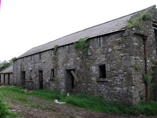 outbuildingoutbuilding · 827 yd
 Enclosure in TubrideEnclosure · 836 yd
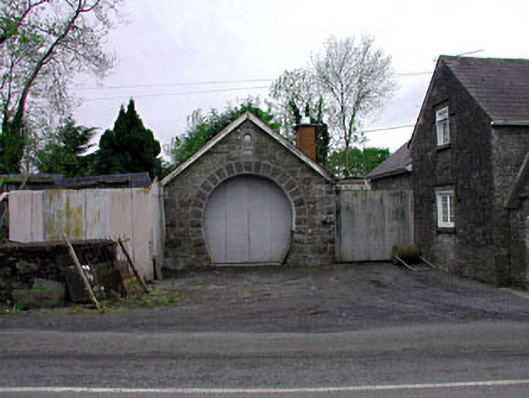 forge/smithyforge/smithy · 837 yd
 Enclosure in KnockmacoonyEnclosure · 1345 yd
 CastleCastle, unclassified · 1422 yd
 C11Named rock · 1676 yd
 Carnbane WestMountain / peak · 1728 yd
 MoatCastle, motte · 1.1 mi
 Mount FortuneMountain / peak · 1.1 mi
 Zip WireHeritage attraction · 1.2 mi
 Memorial CrossMemorial · 1.2 mi
 European YewEuropean Yew · 1.2 mi