What is recorded here
Fairy fort / earthen ringfort in Foilaclug is a fairy fort or earthen ringfort in Foilaclug, County Tipperary, Ireland. It sits on poorly drained high ground with extensive views in all directions. The site holds a forty-metre circular area enclosed by an earthen bank, a waterlogged ditch and a smaller external bank visible only from north to northeast. A modern roadway cuts across the inner bank from south to west, while reeds still cover much of the earthworks.
On top of poorly drained high ground with extensive views in all directions. Nearby enclosure (TS045-019----) located to the SE. Heavily overgrown monument covered in reeds; consisting of a raised circular area (dia. 40m E-W) enclosed by an earthen bank (top Wth 3.5m; base Wth 6.5m; ext. H 0.7m; int. H 0.1m) waterlogged fosse (Wth 4m; ext. D 0.4m) and external bank (Wth 2m; ext. H 0.1m) visible from N to NE only. Inner bank visible from W through N to E and intersected by a modern roadway from S to W, roadway is orientated on a NW-SE axis. No entrance feature visible. Identified from aerial photographs (GSI R 305/04; 08/04/74).
Compiled by: Jean Farrelly
Date of upload: 26 August 2011
The monument record does not grant public access. Check the route and ask the landowner before entering private land.
- What survives
- Recorded monument
Places near here
 Partially indicatedEnclosure · 1.2 mi
 IndicatedFairy fort / earthen ringfort · 1.5 mi
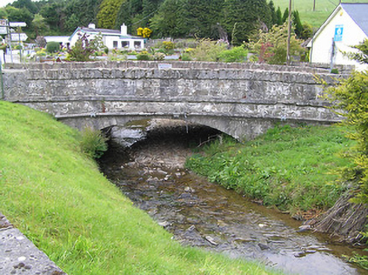 Hollyford Bridgebridge · 1.7 mi
 Shanaclogh CastleCastle, unclassified · 2.3 mi
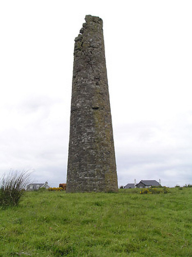 Hollyford Copper Mineschimney · 2.3 mi
 Site of CastleCastle, unclassified · 2.7 mi
 LackenacreenaMountain / peak · 2.8 mi
 Green Field ParkWood · 3.0 mi
 TooreenMountain / peak · 3.1 mi
 Gortard WoodForest · 3.3 mi
 ToberagaddySpring · 8.9 mi
 Enclosure in Kilmore (toem Par.)Enclosure · 1.8 mi