What is recorded here
Fire is the oldest witness in Rathcrogue. Three shallow pits held burnt bone, and a wider oval pit may have been the pyre where that transformation began. The road nearly erased the place, but measurement and patience pulled the ceremony back into view.
Excavated in advance of construction of the N9/N10 Kilcullen-Waterford Road (Excavation Licence number E2596), three shallow cremation pits were uncovered. The northernmost was circular in plan (max. diam. 0.80m; D 0.24m) and contained two fills the lower of which had a large concentration of burnt bone. A second cremation pit was located 3.5m to the SE, it was circular in plan (max diam. 0.62m; D 0.29m), and contained two fills the lower of which again contained high concentrations of burnt bone. The third pit was located 9.5m to the SE of the second. It was sub-circular in shape (max diam. 0.71m; D 0.14m) and contained small fragments of burnt bone. Late Bronze Age dates were obtained from radiocarbon analysis of the bone from the deeper two pits. A large oval pit (L 2.1m; Wth 1.61m; D 0.48m) with possible stake-holes around the edge was discovered 7m to the SW of the first pit. This was originally interpreted as a charcoal production pit (Hughs 2009; 46) (see CW007-114----) but during post excavation analysis it was re-interpreted as the possible remains of a pyre. (Doyle, T. 2009 6, 10-11)
References:
Hughs J. (2009) 'Moyle Big Two pits, furrows, linear feature' in I. Bennett (ed.), Excavations 2006: summary accounts of archaeological excavations in Ireland, 46 (193). Bray. Wordwell
Doyle T. 2009 N9/N10 Kilcullen to Waterford Scheme: Kilcullen to Powerstown. Archaeological Services Contract No. 4 - Resolution, Prumpelstown to Powerstown. Final Report on archaeological investigations at site E2596, in the townland of Rathcrogue, Co. Carlow. Unpublished report, Headland Archaeology (Ireland) Ltd., Cork
Compiled by: Claire Breen
Date of upload: 10 November 2010
The monument record does not grant public access. Check the route and ask the landowner before entering private land.
- What survives
- Recorded monument
Places near here
 Site of CastleCastle, unclassified · 193 yd
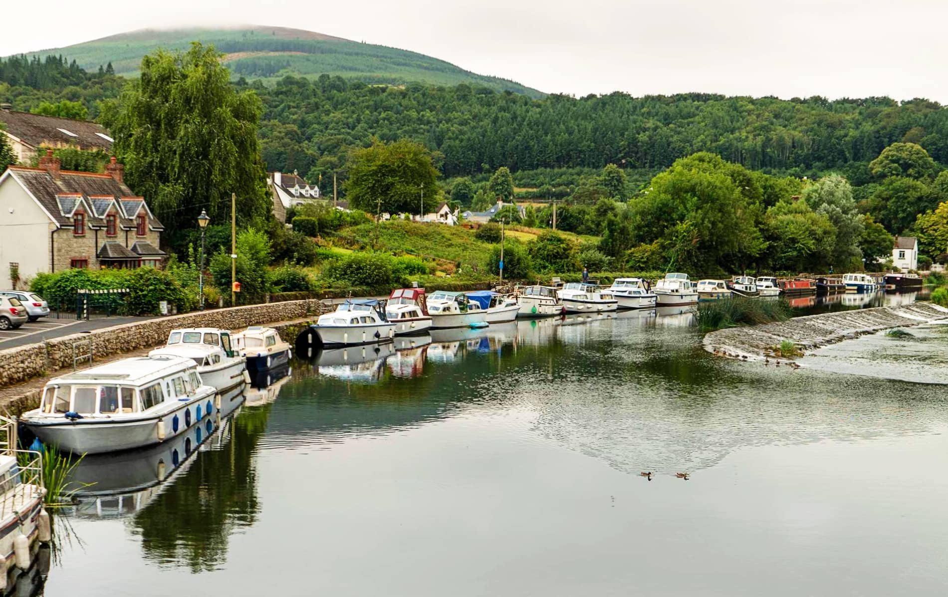 IndicatedEnclosure, large enclosure · 472 yd
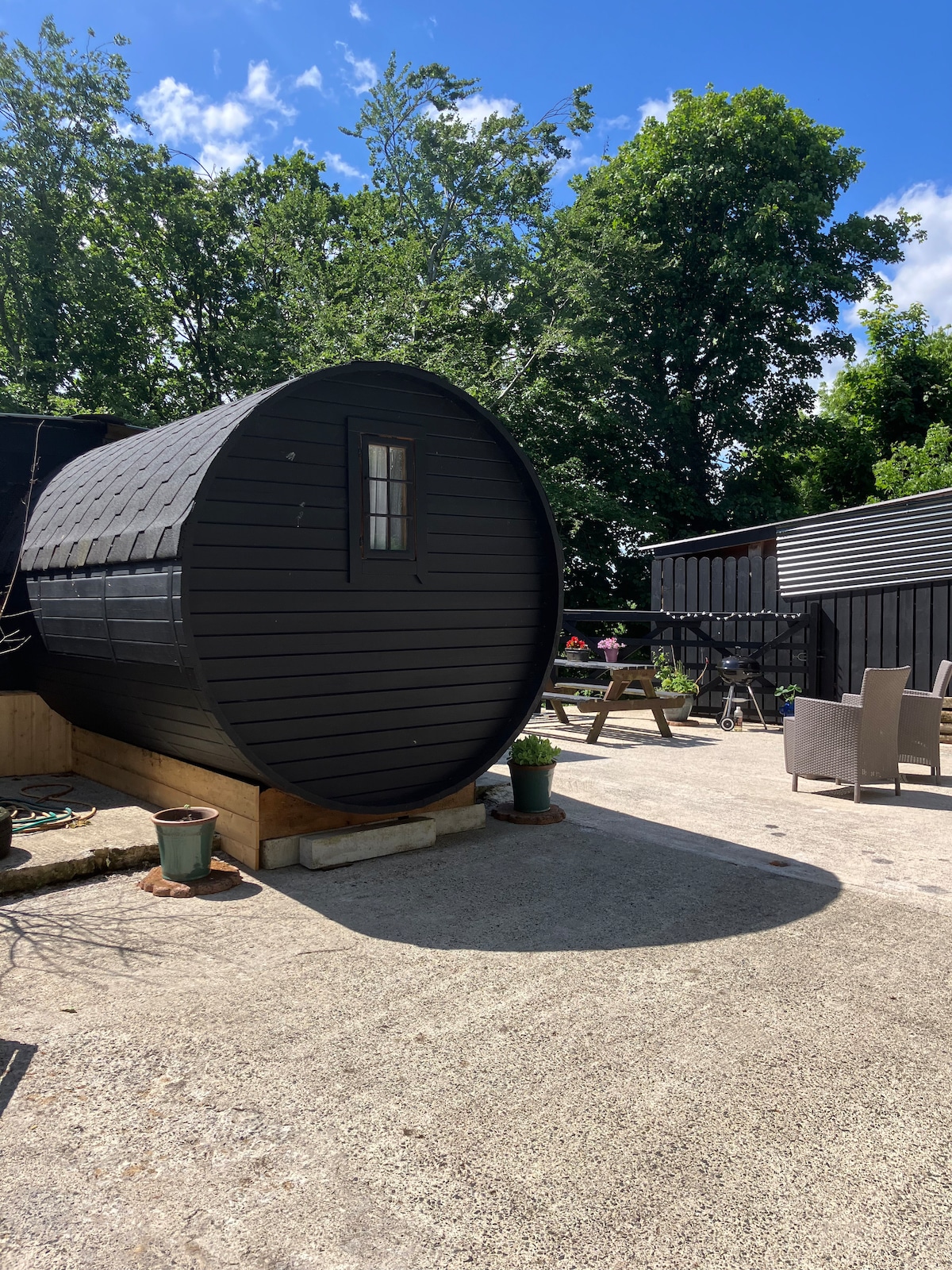 Enclosure in Moyle BigEnclosure · 777 yd
 Rathcrogue Househouse · 975 yd
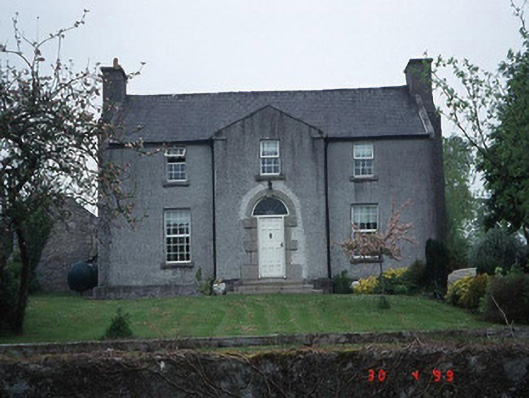 Green Househouse · 1264 yd
 Pedunculate OakPedunculate Oak · 1.1 mi
 Graigue Castle in ruinsCastle, unclassified · 1.2 mi
 Brownshill Portal TombVisitor information · 2.4 mi
 Kilmurry Church (in ruins), GraveyardChurch · 2.5 mi
 Church (in ruins), GraveyardChurch · 3.1 mi
 White willowWhite willow · 3.4 mi
 Carlow County MuseumMuseum · 3.5 mi