What is recorded here
Death and burial are common in upland field boundaries because people cut through them repeatedly. The wedge tomb sits beside the largest wall, suggesting the land was divided and remembered at once. The gap may have marked an entrance, a laneway or a boundary between families. The bog preserved what measurement and mapping keep losing.
In upland, covered with blanket bog, c. 28m to W and SW of wedge tomb (CO069-003-). Turf cutting exposed lines of stones at depth of 0.6m-0.7m under bog. Most substantial wall runs NNE-SSW for distance of 112m, curving gently. Second line of stones, parallel to and c. 3-5m E of above wall, extends from cutting 8m beyond NNE end of it and runs SSW for c. 28m; after gap of 6m, wall continues SSW for 58m before disappearing into bog. Immediately S of 6m gap is wall, not fully exposed, extending E; second E-Wwall (L 20m) lies 38m to NNE of main NNE-SSW wall. May be remains of laneway with walls extending from it on either side.
The above description is derived from the published 'Archaeological Inventory of County Cork. Volume 3: Mid Cork' (Dublin: Stationery Office, 1997). In certain instances the entries have been revised and updated in the light of recent research.
Date of upload/revision: 14 January 2009
The monument record does not grant public access. Check the route and ask the landowner before entering private land.
- What survives
- Recorded monument
Places near here
 Wedge tomb in Na DoiríWedge tomb · 33 yd
 IndicatedEnclosure · 275 yd
 Sli Gaeltacht MuscraiWalking route · 774 yd
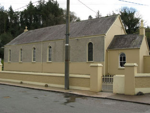 Séipéal Ghobnatan [Saint Gobnet's Catholic Church]church/chapel · 1.4 mi
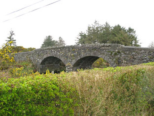 Milleeny Bridgebridge · 1.4 mi
 European long distance path E8 - part IrelandWalking route · 2.2 mi
 CastleCastle, unclassified · 2.2 mi
 MweelinMountain / peak · 2.4 mi
 An Coimín BuíMountain / peak · 2.8 mi
 Kealaboane WoodWood · 3.3 mi
 Cascade WoodWood · 3.4 mi
 Castle (Site of)Castle, unclassified · 3.4 mi