
What is recorded here
On level spur in cut-away bog overlooking Douglas River valley to NE. Comprises ruined gallery (L 2.3m; Wth c. 0.9m at E end) aligned ENE-WSW, represented by two jamb-like stones at W end, single sidestones to N and S, and doubling of backstone at E end; outer-wall stones to N, E and S.Upright slab to NW may be remains of facade or part of pre-bog wall which skirts N side of monument (CO069-070---). (Ó Nualláin 1989, 135)
The above description is derived from the published 'Archaeological Inventory of County Cork. Volume 3: Mid Cork' (Dublin: Stationery Office, 1997). In certain instances the entries have been revised and updated in the light of recent research.
Date of upload/revision: 14 January 2009
Wedge tomb, dating to the Late Neolithic or Early Bronze Age (c. 2500–1000 BCE). Its orientation and construction reflect a regional tradition in Atlantic Ireland, significant for understanding prehistoric funerary practices and landscape use.
The monument record does not grant public access. Check the route and ask the landowner before entering private land.
- What survives
- Recorded monument
Places near here
 IndicatedEnclosure · 271 yd
 Sli Gaeltacht MuscraiWalking route · 747 yd
 Man-made underground passage in Doire An ChuillinnMan-made underground passage · 1543 yd
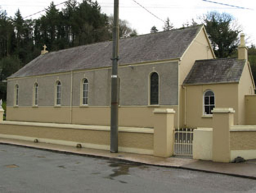 Séipéal Ghobnatan [Saint Gobnet's Catholic Church]church/chapel · 1.4 mi
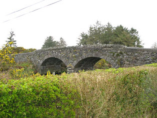 Milleeny Bridgebridge · 1.4 mi
 European long distance path E8 - part IrelandWalking route · 2.2 mi
 CastleCastle, unclassified · 2.2 mi
 MweelinMountain / peak · 2.3 mi
 An Coimín BuíMountain / peak · 2.8 mi
 Kealaboane WoodWood · 3.3 mi
 Cascade WoodWood · 3.4 mi
 Castle (Site of)Castle, unclassified · 3.5 mi
Other information
Photo: Credit not shown in the picture search · Rights wording not checked; contact us if this picture should be removed