What is recorded here
Embanked enclosure is a fairy fort or earthen ringfort in Farnbeg,farnmore, County Roscommon, Ireland. It appears as a circular embanked enclosure about sixty metres across on the 1837 and 1915 Ordnance Survey maps, cut by a field bank and townland boundary. Gannon recorded fragments of an earthen bank and outer fosse at the northeast and southwest in 1972, but these features are no longer visible at ground level in the pasture.
Marked as a circular embanked enclosure (ext. diam. c. 60m) cut by a NE-SW field bank and townland boundary with Farnbeg at NW on the 1837 and 1915 eds. of the OS 6-inch map, and situated on a level landscape. Gannon (1972) records fragments of an earthen bank and outer fosse at NE and SW, but these are no longer visible at ground level in pasture. Rath (RO029-021----) is c. 140m to the SW.
Compiled by: Michael Moore
Date of upload: 24 August 2010
The monument record does not grant public access. Check the route and ask the landowner before entering private land.
- What survives
- Recorded monument
Places near here
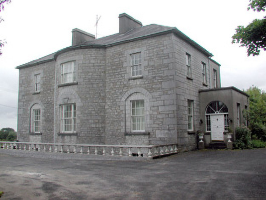 The Gleberectory/glebe/vicarage/curate's house · 455 yd
 Embanked enclosureFairy fort / earthen ringfort · 718 yd
 IndicatedFairy fort / earthen ringfort · 988 yd
 Church (in Ruins)Church · 1214 yd
 Common LimeCommon Lime · 1301 yd
 Strokestown House GardensHeritage attraction · 1318 yd
 Strokestown ParkHeritage attraction · 1621 yd
 Sweet ChestnutSweet Chestnut · 1722 yd
 CastleCastle, unclassified · 1.1 mi
 Slieve BawnMountain / peak · 3.4 mi
 Leitrim CastleCastle, unclassified · 4.3 mi
 Commons North WalkVisitor information · 7.9 mi