What is recorded here
Marianne and the hidden chamber: Love and loss in Tinnahinch
Almost circular area (diam. c. 76m E-W) situated close to hill top and defined by much degraded bank of earth and stone. Possibly remains of large cashel.
The above description is derived from the published 'Archaeological Inventory of County Laois' (Dublin Stationery Office, 1995) compiled by P. David Sweetman, Olive Alcock and Bernie Moran. In certain instances the entries have been revised and updated in the light of recent research.
Date of upload: 17 December 2007
The monument record does not grant public access. Check the route and ask the landowner before entering private land.
- What survives
- Recorded monument
Places near here
 CastleCastle, unclassified · 564 yd
 IndicatedEcclesiastical enclosure · 956 yd
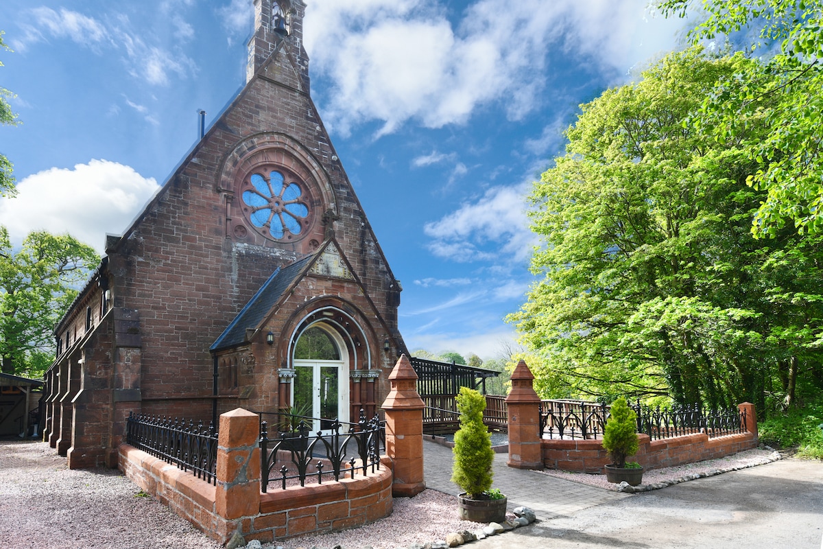 Church (Site of)Church · 1099 yd
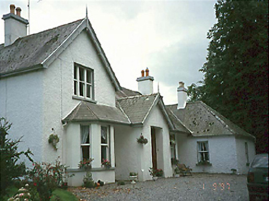 Clarahill Househouse · 1.3 mi
 Turrets (in Ruins)Bawn · 1.4 mi
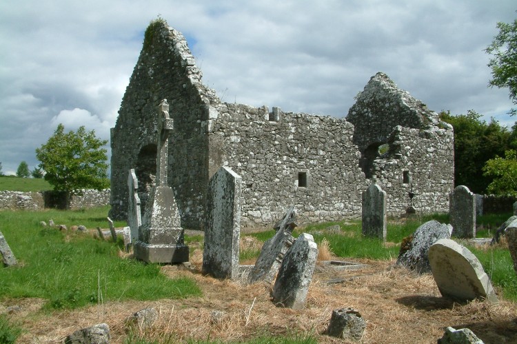 Rearymore Ch. (in Ruins), Grave Yd.Church · 1.8 mi
 Kilmanman church (in Ruins), GraveyardChurch · 3.8 mi
 BaunreaghcongMountain / peak · 4.4 mi
 Red HillMountain / peak · 4.9 mi
 Church (in Ruins), GraveyardChurch · 4.9 mi
 Slieve Bloom MountainsMountain range · 5.1 mi
 Sitka SpruceSitka Spruce · 6.3 mi