What is recorded here
In rock strewn pasture. A roughly circular area (c. 45m N-S; 49.7m E-W) defined by a ruined wall and divided S of centre, on an E-W axis, by a road flanked by field walls. To N of the road the interior is defined by a collapsed sod-covered stone wall (Wth 2m; H 0.5m) W-NE and by a scarp (H 1.2m) NE-E which is roughly faced with stones and boulders. To S of the road the interior is defined by remnants of the wall forming an arc S-WSW. The interior is level to N of the road with the eastern third sloping down to E. A gap (Wth 2m) at N leads into a passageway (Wth 2.3m), which extends for c. 6m to NNW and is flanked by sod-covered walls/banks internally kerbed with stones. Part of a complex of cashels (SL025-015001-; SL025-015002-; SL025-015004-; SL025-015007-; SL025-015008-), enclosures (SL025-015003-; SL025-015011-), a possible enclosure (SL025-015005-), a rath (SL025-015006-) and hut site (SL025-015010-).
The above description is derived from the published 'Archaeological Inventory of County Sligo' compiled by Ursula Egan, Elizabeth Byrne, Mary Sleeman with Sheila Ronan and Connie Murphy (Dublin Stationery Office, 2005).
Date of upload: 18 January 2008
The monument record does not grant public access. Check the route and ask the landowner before entering private land.
- What survives
- Recorded monument
Places near here
 Enclosure in RathoseyEnclosure · 352 yd
 IndicatedCastle, motte · 604 yd
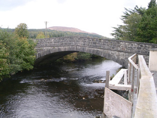 bridgebridge · 654 yd
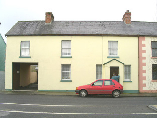 court housecourt house · 733 yd
 Tullaghan HillMountain / peak · 1.1 mi
 Tullaghan CastleCliff-edge fort · 1.1 mi
 DoomoreMountain / peak · 1.1 mi
 Moymlough Castle (in Ruins)Castle, tower house · 1.8 mi
 RinnatalleenHeadland · 2.9 mi
 Derinch PointHeadland · 3.2 mi
 CarrigeenfaddaIslet · 4.1 mi
 Giant's GraveArchaeological place · 4.1 mi