What is recorded here
Situated on a hill with wide views of the surrounding countryside. Earthwork (WM007-103----) 190m to S. Depicted on the 1911 ed. OS 6-inch map as a circular shaped area (approx. diam. 39m E-W), and described in an OPW field report from 1967 as having a bank and external fosse. No surface remains visible of levelled ringfort. Cropmark of this levelled monument is clearly visible on Digital Globe aerial photograph taken November 2011.
Compiled by: Frank Coyne and Caimin O'Brien
Date of upload: 17 April 2017
The monument record does not grant public access. Check the route and ask the landowner before entering private land.
- What survives
- Recorded monument
Places near here
 Water millWater mill, vertical-wheeled · 766 yd
 Enclosure in DerrynagarraghEnclosure · 789 yd
 HachruedFairy fort / earthen ringfort · 1070 yd
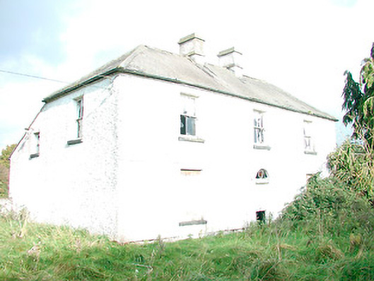 The Orchardhouse · 1265 yd
 Castle IslandIslet · 1.9 mi
 KnockeyonMountain / peak · 2.3 mi
 South East GateHeritage attraction · 3.3 mi
 Christians Castle in ruinsCastle, unclassified · 3.3 mi
 St Feichin's MillHeritage attraction · 3.4 mi
 MoatCastle, motte and bailey · 3.5 mi
 Ben of ForeMountain / peak · 3.7 mi
 The FurzeForest · 4.0 mi