
What is recorded here
Situated in pasture-land on the N facing slope of rising ground. A series of flat terraces running ENE-WSW enclosed by wide banks form rectangular enclosures. To the E of this area is a fairly substantial earthen bank. The cropmark of a large sub-circular shaped possibly trivallate enclosure is visible as a crop mark on Digital Globe aerial photograph taken November 2011. A series of terraces running parallel to each other are located immediately E of the trivallate enclosure. Larkin's 1808 map of Westmeath marks the ruins of two building in this location and the earthworks are associated with these two buildings (NLI, MS 46,580). The terracing may be landscaping earthworks or the remains of a formal garden associated with the two buildings. The medieval castle of Derrynagarrah (WM008-074----) is depicted in this general area on the 1657 Down Survey map of Fore barony (NLI, MS 723-4). These earthworks and ruins may be the remains of this medieval castle. The modern farm buildings to the N of the terracing may have been the site of one of the ruined buildings marked on Larkin's 1808 map of Westmeath.
Compiled by: Frank Coyne and Caimin O'Brien
Date of upload: 17 April 2017
The monument record does not grant public access. Check the route and ask the landowner before entering private land.
- What survives
- Recorded monument
Places near here
 HachruedFairy fort / earthen ringfort · 283 yd
 Water millWater mill, vertical-wheeled · 543 yd
 Concentric enclosure in FroghanstownConcentric enclosure · 1183 yd
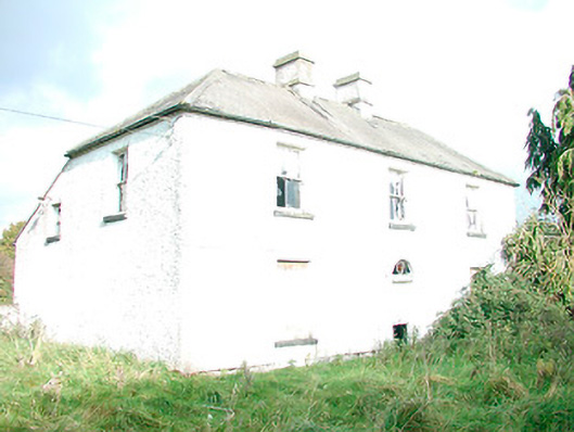 The Orchardhouse · 1.2 mi
 KnockeyonMountain / peak · 1.8 mi
 Castle IslandIslet · 2.1 mi
 South East GateHeritage attraction · 3.5 mi
 Christians Castle in ruinsCastle, unclassified · 3.5 mi
 St Feichin's MillHeritage attraction · 3.6 mi
 MoatCastle, motte and bailey · 3.7 mi
 Ben of ForeMountain / peak · 4.0 mi
 The FurzeForest · 4.4 mi
Other information
Photo: Credit not shown in the picture search · Rights wording not checked; contact us if this picture should be removed