What is recorded here
Situated on a low gravel ridge which affords good views from E-W-S. No surface remains visible of any earthworks at this location. Land reclamation took place in this area in the late 1970s and the earthworks in this area which were visible on GSI Aerial photographs may have been levelled around this time.
Compiled by: Frank Coyne and Caimin O'Brien
Date of upload: 20 April 2017
The monument record does not grant public access. Check the route and ask the landowner before entering private land.
- What survives
- Recorded monument
Places near here
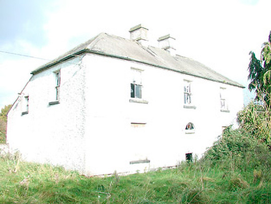 The Orchardhouse · 355 yd
 Hachured, FortfieldFairy fort / earthen ringfort · 1143 yd
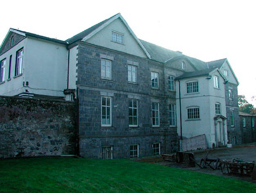 Barbavilla Housecountry house · 1228 yd
 Enclosure in DerrynagarraghEnclosure · 1.0 mi
 Castle IslandIslet · 1.5 mi
 KnockeyonMountain / peak · 2.8 mi
 South East GateHeritage attraction · 2.9 mi
 Christians Castle in ruinsCastle, unclassified · 2.9 mi
 MoatCastle, motte and bailey · 3.0 mi
 St Feichin's MillHeritage attraction · 3.1 mi
 Ben of ForeMountain / peak · 3.3 mi
 The FurzeForest · 3.4 mi