What is recorded here
On a hillock in wet, low-lying pasture. Depicted as an oval enclosure with the designation 'Fort' on the 1837 ed. of the OS 6-inch map. A report in 1976 (SMR file) recorded a slightly raised oval area (c. 46m NW-SE; c. 38m NE-SW) enclosed by a bank of earth and stone with a shallow external fosse. The original entrance was not recognisable. The rath has since been levelled, however, the outline of the enclosing bank (Wth c. 4m) and fosse (Wth 2.7m) may still be traced.
Compiled by: Patrick F. O'Donovan
Date of upload: 26 August 2011
The monument record does not grant public access. Check the route and ask the landowner before entering private land.
- What survives
- Recorded monument
Places near here
 Church in TrillickatempleChurch · 1230 yd
 Holy well in FeraghfadHoly well · 1389 yd
 IndicatedFairy fort / earthen ringfort · 1653 yd
 Bawn Castle & NunneryHouse, fortified house · 1.2 mi
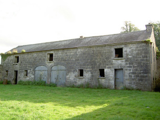 Mount Jessopoutbuilding · 1.2 mi
 Graveyard in Curry (ardagh By., Coolamber Ed)Graveyard · 2.1 mi
 First World War MemorialMemorial · 2.4 mi
 Saint Mel's CathedralCathedral · 2.5 mi
 Bawn in LissardowlanBawn · 2.6 mi
 Commons North WalkVisitor information · 9.1 mi
 Wild birdsVisitor information · 9.2 mi
 White Sand WoodWood · 9.4 mi