What is recorded here
Located towards the top of the S-facing slope of the broad Hill of Ward or Tlachta. A remote sensing survey (12R0057) identified a small enclosure (int. diam. c. 35m) defined by a single ditch feature which has an entrance gap at E. The N part of this fosse impinges on the line of the outermost bank of the visible monument (ME030-001----). (Davis 2017, 3, TL2)
Archaeological excavation (E004474) in Trench 3 during 2014 at the S edge of the visible earthwork recorded a section of the rock-cut ditch (Wth of top 3.05m; D 0.8m) of this rath. A cattle bone from the primary fill produced a C14 date in the fifth century AD, and an inhumation of a 2 to 3-month old child from an upper fill in a rudimentary slab-lined grave has a C14 date in the same century. During 2015 Trench 5 was placed at the interface of this monument with the third bank of the visible earthwork and demonstrated that the rock-cut ditch of this rath was truncated by that of the larger enclosure. For summaries of the excavation see this web-page accessed on 18/04/2017: http://www.excavations.ie/report/2014/Meath/0023689/
Compiled by: Michael Moore
Date of upload: 21 April, 2017
The monument record does not grant public access. Check the route and ask the landowner before entering private land.
- What survives
- Recorded monument
Places near here
 Ceremonial enclosure in TlachtaCeremonial enclosure · 60 yd
 TlachtghaFairy fort / earthen ringfort · 95 yd
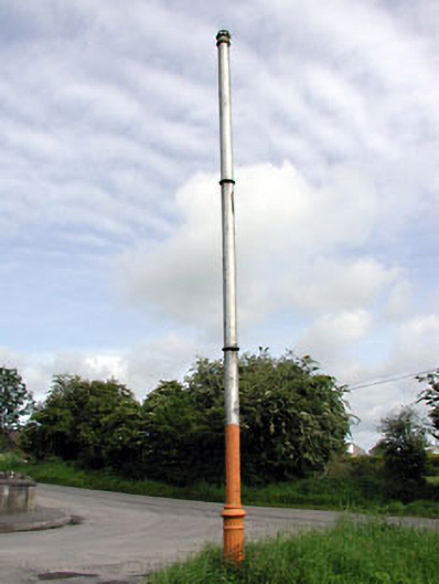 vent pipevent pipe · 1578 yd
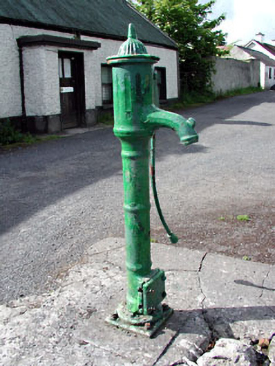 water pumpwater pump · 1593 yd
 CastleCastle, unclassified · 2.1 mi
 JamestownMountain / peak · 2.5 mi
 Fraine CastleCastle, tower house · 2.6 mi
 FraineMountain / peak · 2.8 mi
 FarmaphobiaHeritage attraction · 3.1 mi
 Causey FarmHeritage attraction · 3.1 mi
 Laurelberry WoodWood · 3.3 mi
 Girley WoodWood · 3.4 mi