What is recorded here
Scartnamuck holds a vanished oval fort, marked as a Danes Fort on a 1775 map but no longer visible except through memory and soil behaviour. The landowner recalls the rath area resisting the plough because it was noticeably stoner than the surrounding pasture. That difference suggests the fort still lives beneath the grass, shaping the field long after its rim disappeared from sight.
In pasture, on a gentle SW-facing slope, with commanding views over the valley to the SW. Indicated as an oval 'Danes Fort' on a 1775 map (no. 31) by B. Scalé (private collection). It is not visible at ground level. According to the landowner, when the field was ploughed the area occupied by the rath was notably more stony than the rest of the field.
The above description is derived from 'The Archaeological Inventory of County Cork. Volume 5' (Dublin: Stationery Office, 2009).
Date of upload: 22 December 2009
The monument record does not grant public access. Check the route and ask the landowner before entering private land.
- What survives
- Recorded monument
Places near here
 Scartnamuck Househouse · 638 yd
 Castle Nalacht, site ofCastle, unclassified · 1213 yd
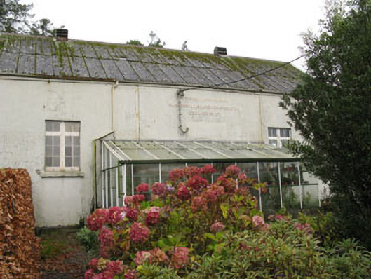 Templemartin Creamerycreamery · 1240 yd
 GallaunsBoulder-burial · 1511 yd
 Cross in Garranes (kinalmeaky By.)Cross · 1664 yd
 Mount Pleasant WoodWood · 1.1 mi
 Towers (in Ruins)House, fortified house · 2.6 mi
 Bandon War MemorialMemorial · 3.8 mi
 Cottage Road WoodWood · 3.9 mi
 Cathal Hurley MemorialMemorial · 4.0 mi
 Carbury's WellSpring · 4.5 mi
 Independence MuseumMuseum · 5.9 mi