
What is recorded here
Located 15m to the south-east of Saint Martin’s church (CO096-008001-), towards the centre of the surrounding graveyard (CO096-008002-). This is a stone cross, of Latin form, which is carved from a single block of sandstone and measures 0.67m high, 0.28m wide and 0.1m thick. The arms of the cross are short, the left is badly damaged. The shaft, which is of rectangular cross section, splays slightly towards the base. The top terminal of the cross also splays outwards, but to a much greater degree. The western face of the cross is plain. On the eastern face, at the centre of the cross head, is a motif formed of two large concentric circles in raised relief. Overall, the quality of the cross indicates that it was carved by a skilled craftsman. Around the twelfth century new forms of stone grave markers began to be introduced (Higgins 1987, vol. 1, v). Small Latin stone crosses, of this type, continued to be used up until the nineteenth century. These crosses exist in a variety of locations, serving different functions. The association of a stone cross with an early medieval site and which exhibit ‘parallels in features and shapes … with other decorated cruciform shaped stones’ of the early medieval period, can help establish a date for the monument (ibid., 71). An earlier church (CO096-008003-) once stood in the eastern section of the graveyard, it is recorded as a rectangular structure on the OS 6-inch map of 1842 and is marked as ‘site of Chapel’ The cross is located near the site of this church. In the graveyard is a font (CO096-008005-) that is also believed to be associated with the early church. John Sheehan, having seen the cross, believes that it dates to the early medieval period (2019 pers. comms.).
Compiled by: David Herriot
Date of upload/revision: 15 April 2019
Images uploaded courtesy of David Herriott.
The cross in Garranes, near Saint Martin’s church, is a single-block sandstone Latin cross, likely erected between the 9th and 12th centuries. Its style and location suggest a ecclesiastical connection, possibly as a high cross associated with the nearby church and graveyard.
The monument record does not grant public access. Check the route and ask the landowner before entering private land.
- What survives
- Recorded monument
Places near here
 St Martin's Church of Ireland Churchchurch/chapel · 22 yd
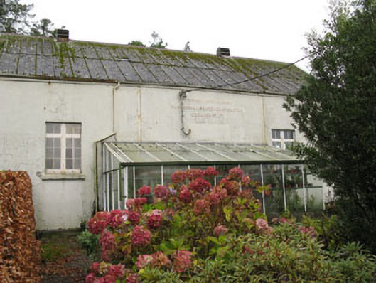 Templemartin Creamerycreamery · 425 yd
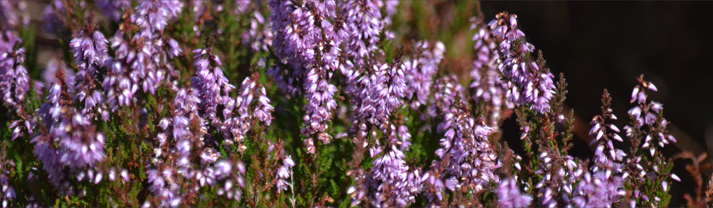 Fulachta FiadhFulacht fia · 468 yd
 Fulachta FianFulacht fia · 555 yd
 Castle Nalacht, site ofCastle, unclassified · 1.1 mi
 Mount Pleasant WoodWood · 1.8 mi
 Towers (in Ruins)House, fortified house · 2.8 mi
 Pedunculate OakPedunculate Oak · 3.4 mi
 Michael Collins MemorialMemorial · 3.9 mi
 Bandon War MemorialMemorial · 4.7 mi
 Carbury's WellSpring · 5.4 mi
 Independence MuseumMuseum · 5.4 mi
Other information
Photo: Credit not shown in the picture search · Rights wording not checked; contact us if this picture should be removed