What is recorded here
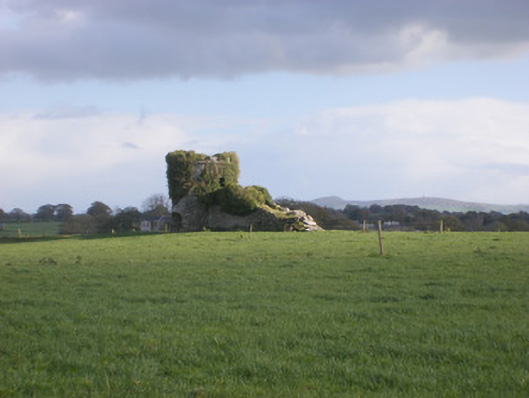
In pasture, at break in S-facing slope. Circular area (35.5m N-S; 35.5m E-W) enclosed by earthen bank (int. H 0.25m; ext. H 0.35m), with external fosse (Wth 2.5m; D 0.35m) SSW->NW and NNE->E, and with counterscarp bank (ext. H 0.2m) NNE->E. Interior level and under pasture. There are shallow depressions in centre and adjacent to bank at E. Field boundaries, on E-W axis, run immediately N and S of enclosure.
Compiled by: Denis Power
Date of upload: 26 August 2011
The monument record does not grant public access. Check the route and ask the landowner before entering private land.
- What survives
- Recorded monument
Places near here
 TobernawathaHoly well · 900 yd
 kilnkiln · 922 yd
 Field system in CloghanaroldField system · 1090 yd
 Bawn in Lisnacullia (connello Lower By.)Bawn · 1155 yd
 TobernablahySpring · 1157 yd
 Doondonnell Church (in ruins)Church · 1318 yd
 St. Kieran's WellSpring · 1.2 mi
 Castle MatrixCastle, tower house · 1.3 mi
 European ashEuropean ash · 3.0 mi
 Flat cemetery in CroaghFlat cemetery · 4.4 mi
 Little HeavenHeritage attraction · 6.5 mi
 Gammarel PointHeadland · 8.0 mi