What is recorded here
On a very slight W-facing slope in undulating pasture. Circular area (diam. 32m N-S and E-W) enclosed by an earthen bank (Wth 3.1m crest, 8.1m base; 0.62m int. H; 1.06m ext. H) and slight, U-shaped fosse (Wth 3.5m; D 0.2m). There is no visible break in the bank. Field reclaimed and ringfort has been somewhat disturbed. Bank appears to be wide due to bank slippage.
Compiled by: Jean Farrelly
Date of upload: 26 August 2011
The monument record does not grant public access. Check the route and ask the landowner before entering private land.
- What survives
- Recorded monument
Places near here
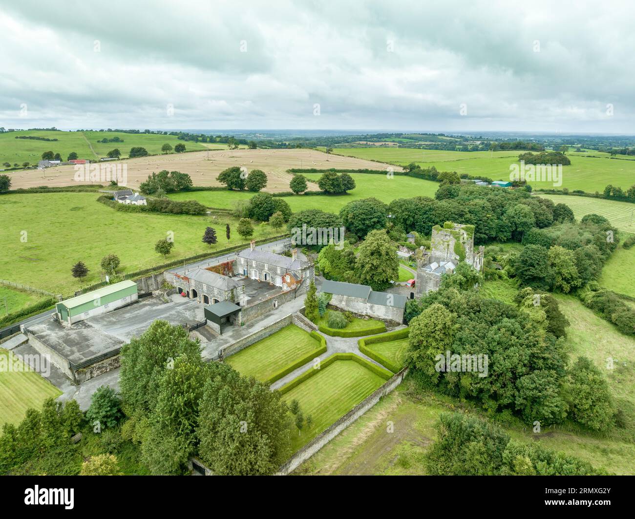 Enclosure in Lawlesstown (kiltegan Par.)Enclosure · 691 yd
 Structure in Ballyveelish NorthStructure · 1334 yd
 Church in NewchapelChurch · 1503 yd
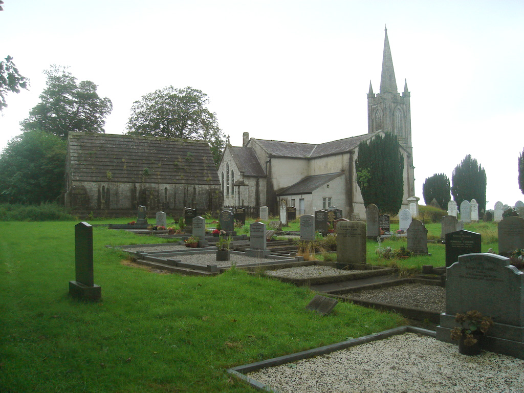 Church (in Ruins)Church · 1547 yd
 Pedunculate OakPedunculate Oak · 1.5 mi
 CastleCastle, unclassified · 1.6 mi
 Bawn in MullaghnoneyBawn · 1.9 mi
 The WoodsForest · 2.8 mi
 Grubb's IslandIslet · 2.9 mi
 Merchant's HouseVisitor information · 3.0 mi
 Francis HopkinsMemorial · 3.0 mi
 John HackettMemorial · 3.0 mi