What is recorded here
Mullaghmore holds a thirty-one-metre earthen ring on a drumlin crest, marking one of countless human settlements scattered across Ireland. The bank rises sixteen decimetres at the north while a broad fosse cuts the ground beside it, creating a boundary that still divides inside from outside. People may have lived, hidden or worshipped within that circle before forgetting the names of every hand that shaped the soil.
Situated at the crest of the NE-facing slope of a drumlin. This is an overgrown circular area (int. diam. 31m N S) defined by an earthen bank (Wth of base 5m; int. H 0.3m; ext. H 1.6m) at N, which is reduced to a scarp elsewhere, and a flat bottomed fosse (at N: Wth of top 7.5m; Wth of base 1.8m; ext. D 1.5m). There is a modern entrance (Wth of base 3.5m) and causeway at NE.
The above description is derived from 'The Archaeological Inventory of County Leitrim' compiled by Michael J. Moore (Dublin: Stationery Office, 2003). In certain instances the entries have been revised and updated in the light of recent research.
Compiled by: Michael Moore
Date of revised upload: 10 October 2019
The monument record does not grant public access. Check the route and ask the landowner before entering private land.
- What survives
- Recorded monument
Places near here
 Saint Columba's Church (Drumreilly)church/chapel · 1085 yd
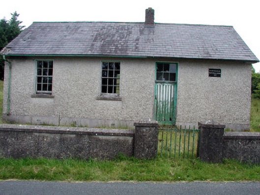 Gortachoosh National Schoolschool · 1.0 mi
 Fairy fort / earthen ringfort in AgharannFairy fort / earthen ringfort · 1.5 mi
 IndicatedGraveyard · 1.9 mi
 DrummuckerMountain / peak · 2.2 mi
 Swan Island pet farmHeritage attraction · 2.4 mi
 King's GraveArchaeological place · 2.5 mi
 Crane IslandIslet · 2.7 mi
 Pedunculate OakPedunculate Oak · 2.7 mi
 BatteryBawn · 2.7 mi
 Cherry IslandIslet · 3.0 mi
 Bawn in Cherry IslandBawn · 3.0 mi