
What is recorded here
Situated in a low-lying position in an undulating landscape c. 30m from the NE shore of the kidney-shaped Fort Lough (dims c. 750m E-W; c. 250m N-S). This is a grass-covered circular platform (diam. 54m N-S; 52m E-W; H 0.8-1.2m) defined by a scarp (H 0.8m to 1.2m generally) and hedge surrounded by a faint band of rushes, with a modern drain at NNW. The original entrance is not identified.
The above description is derived from 'The Archaeological Inventory of County Leitrim' compiled by Michael J. Moore (Dublin: Stationery Office, 2003). In certain instances the entries have been revised and updated in the light of recent research.
Date of upload: 23 September 2008
The monument record does not grant public access. Check the route and ask the landowner before entering private land.
- What survives
- Recorded monument
Places near here
 Holy well in KillyfeaHoly well · 1677 yd
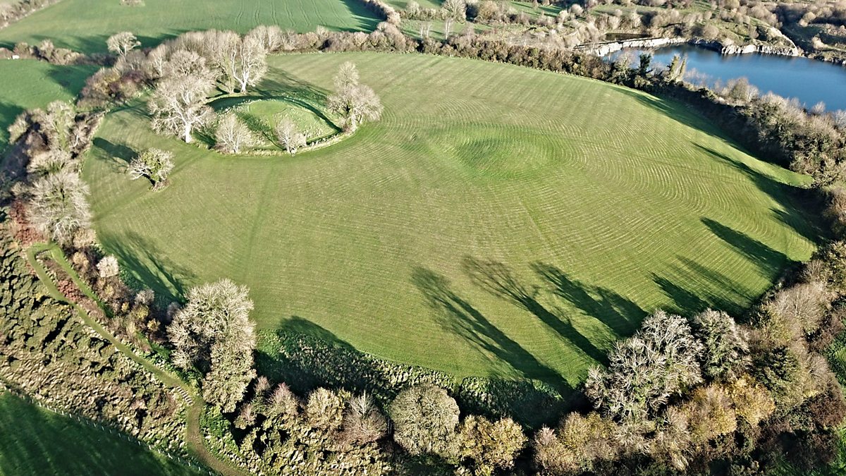 Fairy fort / earthen ringfort in Aghalough (carrigallen By., Aghavas Ed)Fairy fort / earthen ringfort · 1.3 mi
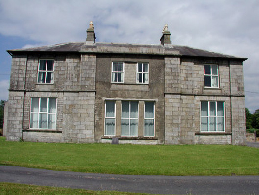 Druminshin Glebe Houserectory/glebe/vicarage/curate's house · 1.5 mi
 Saint Columba's Church (Drumreilly)church/chapel · 1.7 mi
 King's GraveArchaeological place · 2.8 mi
 European YewEuropean Yew · 2.9 mi
 DrummuckerMountain / peak · 3.5 mi
 Pedunculate OakPedunculate Oak · 3.6 mi
 Swan Island pet farmHeritage attraction · 3.7 mi
 DrumbreanlisMountain / peak · 3.8 mi
 Crane IslandIslet · 4.1 mi
 BatteryBawn · 4.1 mi
Other information
Photo: Credit not shown in the picture search · Rights wording not checked; contact us if this picture should be removed