What is recorded here
Marked only on the 1914 ed. of the OS 6-inch map as a hachured D-shaped feature (dims c. 20m N-S; c. 10m E-W) truncated by a N-S field bank at E. Situated in a low-lying position between drumlins to the N and S. Described as a semi-circular bank (Gannon 1972), it is no longer visible and the site is now occupied by a house and garden.
Compiled by: Michael Moore
Date of upload: 24 August 2010
The monument record does not grant public access. Check the route and ask the landowner before entering private land.
- What survives
- Recorded monument
Places near here
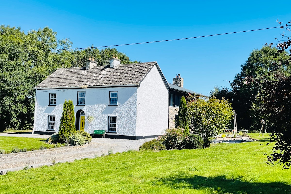 Hut site in Ballymore WestHut site · 988 yd
 IndicatedFairy fort / earthen ringfort · 1366 yd
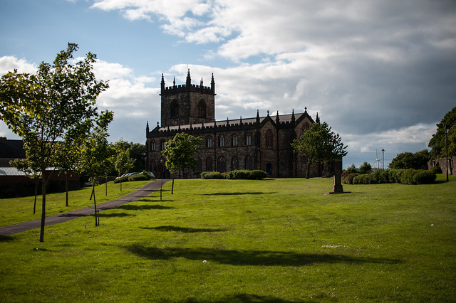 Assylin ChurchChurch · 1498 yd
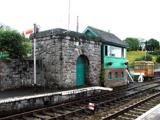 Boyle Railway Stationsignal box · 1.1 mi
 King William MemorialMonument · 1.5 mi
 Boyle AbbeyHeritage attraction · 1.6 mi
 Battle of Curlew PassMajor battlefield · 2.9 mi
 Battle of the Curlew Mountains (1599)Battlefield · 2.9 mi
 Erris BayBay · 3.2 mi
 Bingham IslandIslet · 3.3 mi
 Curlew MountainsMountain / peak · 3.5 mi
 Trinity IslandIslet · 3.6 mi