What is recorded here
In a forestry plantation on a low natural elevation. Marked as a roughly circular enclosure, planted with trees, with the designation ‘Fort’ on the 1837 ed. of the OS 6-inch map. This possible rath has been partly levelled. It is visible as a roughly oval raised area (c. 20-25m N–S; c. 17-20m E–W) defined by a low broadly sloping scarp (H c. 1.2m) that is easiest to trace from E–SE–S where it merges with a natural fall of ground, giving an overall drop in height at E of c. 2m. From SW–W–NW it (H c. 0.5m) is lower and less well defined. At N it is difficult to determine the exact limits of the monument as it and its immediate surroundings are planted with beech and Scots pine, representing an older phase of planting, and these trees are surrounded by a more recent, densely planted coniferous plantation with birch trees on the margins. There is no clearly defined break of slope between the flat interior and the scarp.
Compiled by: Jane O’Shaughnessy
Date of upload: 9 January 2013
The monument record does not grant public access. Check the route and ask the landowner before entering private land.
- What survives
- Recorded monument
Places near here
 RuinsCastle, unclassified · 520 yd
 Moat & FortCastle, motte and bailey · 847 yd
 Church in FirmountChurch · 982 yd
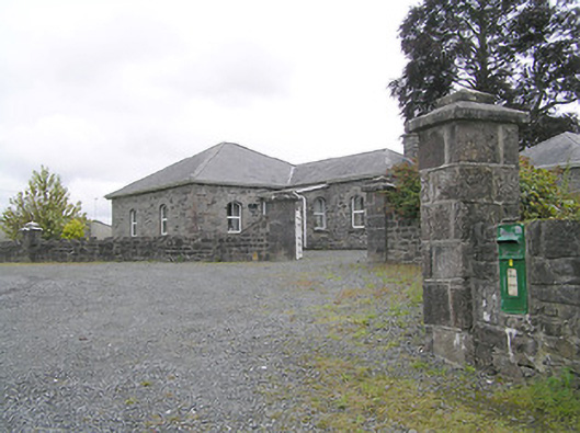 Lissard Housegates/railings/walls · 993 yd
 BarrowBarrow, embanked barrow · 1079 yd
 Enclosure in CartronreaghEnclosure · 1272 yd
 Ballinalee Forest WalkForest · 4.0 mi
 Bully's Acregraveyard/cemetery, unknown · 4.3 mi
 Granard MotteMotte-and-bailey castle remains · 5.5 mi
 1798 Monumentmonument · 5.6 mi
 CartronfreeMountain / peak · 8.5 mi
 Graveyard in Curry (ardagh By., Coolamber Ed)Graveyard · 9.3 mi