
What is recorded here
At the NE end of a low rise in pasture. A slightly raised circular area (diam. c. 7.5m) enclosed from NE-S-SW by a wide low bank of earth and stone (Wth 6.8m; H 1.1m). Elsewhere the bank has been levelled. There is no trace of a fosse and the original entrance is not recognisable.
Compiled by: Patrick F. O'Donovan
Date of upload: 26 August 2011
This remains an important historical record, but the official description says the monument is no longer visible or has been destroyed. The monument record does not grant public access. Check the route and ask the landowner before entering private land.
- What survives
- No visible remains or recorded as destroyed
Places near here
 BarrowBarrow, embanked barrow · 316 yd
 IndicatedFairy fort / earthen ringfort · 948 yd
 RuinsCastle, unclassified · 985 yd
 CastleCastle, ringwork · 1131 yd
 Castle (in Ruins)House, 18th/19th century · 1368 yd
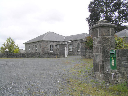 Lissard Housegates/railings/walls · 1436 yd
 Clonfin Ambush MemorialMemorial · 2.9 mi
 Ballinalee Forest WalkForest · 3.6 mi
 Oldtown DemesneForest · 3.7 mi
 Bully's Acregraveyard/cemetery, unknown · 3.9 mi
 Granard MotteMotte-and-bailey castle remains · 6.0 mi
 1798 Monumentmonument · 6.1 mi
Other information
Photo: Credit not shown in the picture search · Rights wording not checked; contact us if this picture should be removed