
What is recorded here
On an ENE-facing slope in low-lying pasture. A raised circular area (diam. at base 9.8m) enclosed by a wide, low bank of earth and stone (Wth 5.5m; H 0.3-1.1m). From NE-E-SE the outer face of the bank has been modified and incorporated into a field boundary. A break (Wth 2.5m) at SSE marks the original entrance. A stepped barrow (LF015-037002-) is c. 5m to the N.
Compiled by: Patrick F. O'Donovan
Date of upload: 26 August 2011
A Neolithic embanked barrow; its construction reflects early funerary practices in the region.
The monument record does not grant public access. Check the route and ask the landowner before entering private land.
- What survives
- Recorded monument
Places near here
 Enclosure in CartronreaghEnclosure · 316 yd
 RuinsCastle, unclassified · 920 yd
 CastleCastle, ringwork · 1134 yd
 Enclosure in Knockanbaun OR WhitehillEnclosure · 1391 yd
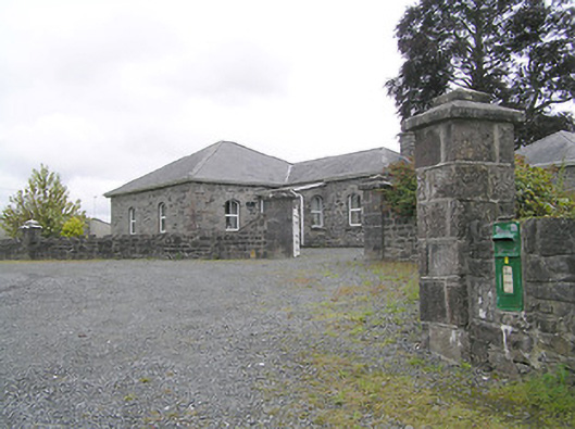 Lissard Housegates/railings/walls · 1465 yd
 Church in FirmountChurch · 1491 yd
 Oldtown DemesneForest · 3.7 mi
 Ballinalee Forest WalkForest · 3.7 mi
 Bully's Acregraveyard/cemetery, unknown · 4.1 mi
 Granard MotteMotte-and-bailey castle remains · 6.0 mi
 1798 Monumentmonument · 6.1 mi
 Graveyard in Curry (ardagh By., Coolamber Ed)Graveyard · 8.7 mi
Other information
Photo: Credit not shown in the picture search · Rights wording not checked; contact us if this picture should be removed