
What is recorded here
On a gentle NE-facing slope on low-lying ground, within an extensive coniferous forest. Indicated as an irregular enclosure planted with trees on the 1913 edition of the OS 6-inch map. Not visible at ground level due to the tree planting.
Compiled by: Patrick F. O'Donovan
Date of upload: 28 January 2012
The monument record does not grant public access. Check the route and ask the landowner before entering private land.
- What survives
- Recorded monument
Places near here
 IndicatedFairy fort / earthen ringfort · 832 yd
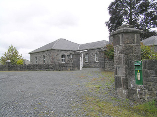 Lissard Housegates/railings/walls · 1008 yd
 Church in FirmountChurch · 1055 yd
 RuinsCastle, unclassified · 1148 yd
 Enclosure in CartronreaghEnclosure · 1155 yd
 Moat & FortCastle, motte and bailey · 1419 yd
 Clonfin Ambush MemorialMemorial · 2.3 mi
 Ballinalee Forest WalkForest · 3.0 mi
 Bully's Acregraveyard/cemetery, unknown · 3.4 mi
 Oldtown DemesneForest · 4.1 mi
 Granard MotteMotte-and-bailey castle remains · 5.6 mi
 1798 Monumentmonument · 5.7 mi
Other information
Photo: Credit not shown in the picture search · Rights wording not checked; contact us if this picture should be removed