
What is recorded here
In level pasture. Indicated on Beaufort's map of Ireland dating from 1792 (Mason 1816, vol. 2, 50) and depicted on the 1837 ed. of the OS 6-inch map as an unroofed rectangular structure, aligned NE-SW, named ‘Church’. In 1838 it was recorded that only part of the ‘chapel … still remain at Firmount' (Fraser 1838, 317). No visible surface trace survives. The field is known locally as the 'Church Field'.
Compiled by: Caimin O'Brien
Date of upload: 4 June 2013
The monument record does not grant public access. Check the route and ask the landowner before entering private land.
- What survives
- Recorded monument
Places near here
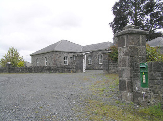 Lissard Housegates/railings/walls · 47 yd
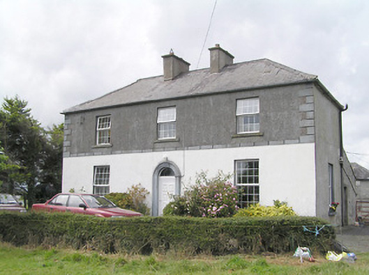 Firmount Housesteward's house · 246 yd
 Moat & FortCastle, motte and bailey · 370 yd
 RuinsCastle, unclassified · 624 yd
 Enclosure in Knockanbaun OR WhitehillEnclosure · 1055 yd
 Enclosure in CartronreaghEnclosure · 1469 yd
 Ballinalee Forest WalkForest · 3.5 mi
 Bully's Acregraveyard/cemetery, unknown · 3.8 mi
 Granard MotteMotte-and-bailey castle remains · 5.2 mi
 1798 Monumentmonument · 5.3 mi
 CartronfreeMountain / peak · 8.2 mi
 ToomeMountain / peak · 9.0 mi
Other information
Photo: Credit not shown in the picture search · Rights wording not checked; contact us if this picture should be removed