
What is recorded here
Indicated is a ruined ringfort on a Longford pasture slope, its thirty-two-metre circle reduced to a low bank and a drainage cut. Trees have broken through the earth, turning a defensive home into a ordinary field feature. The entrance has vanished, but the shape remains, marking the place where human hands first bent the land to their will.
On a SE-facing slope in pasture. An undated report (SMR file) recorded a circular area (diam. c. 32m) enclosed by a low earthen bank (H 0.5-0.75m), best preserved at W, with a shallow external fosse that had been deepened at W to form part of a field drain. The original entrance was not recognisable. The report suggested that the monument may have been a ringfort that was reused as a landscape feature as numerous tree stumps protruded from the bank and the interior. Not visible at ground level.
Compiled by: Patrick F. O'Donovan
Date of upload: 18 February 2012
The monument record does not grant public access. Check the route and ask the landowner before entering private land.
- What survives
- Recorded monument
Places near here
 BarrowBarrow, ring-barrow · 413 yd
 Castle (in Ruins)House, 18th/19th century · 940 yd
 Enclosure in CartronreaghEnclosure · 948 yd
 Moat & CastleCastle, motte and bailey · 1013 yd
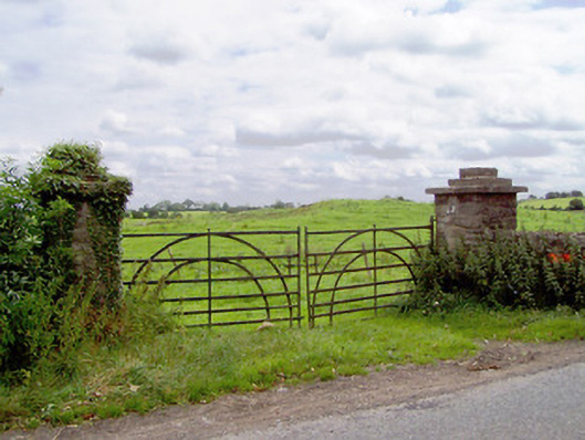 gates/railings/wallsgates/railings/walls · 1076 yd
 CastleCastle, ringwork · 1428 yd
 Edgeworthstown BypassMemorial · 2.6 mi
 Clonfin Ambush MemorialMemorial · 2.9 mi
 Ballinalee Forest WalkForest · 3.1 mi
 Bully's Acregraveyard/cemetery, unknown · 3.5 mi
 Oldtown DemesneForest · 3.6 mi
 Granard MotteMotte-and-bailey castle remains · 6.2 mi
Other information
Photo: Credit not shown in the picture search · Rights wording not checked; contact us if this picture should be removed