What is recorded here
Located just E of the summit of a rise in an undulating landscape. It was described in 1968 (SMR file) as an overgrown circular area (diam. 27.4m E-W; 25m N-S) that sloped down to the SE and was defined by a scarp (H 1.2m at W to 2m at E) and an outer fosse (at N: Wth of top 3.4m; Wth of base 2m; D 1.2m). There was no identifiable original entrance. The monument had been removed by 1995 (OSAP).
The above description is derived from the published 'Archaeological Inventory of County Monaghan' (Dublin: Stationery Office, 1986). In certain instances the entries have been revised and updated in the light of recent research.
Date of revision: 30 August 2017
The monument record does not grant public access. Check the route and ask the landowner before entering private land.
- What survives
- Recorded monument
Places near here
 IndicatedCrannog · 934 yd
 Ecclesiastical enclosure in SellooEcclesiastical enclosure · 1043 yd
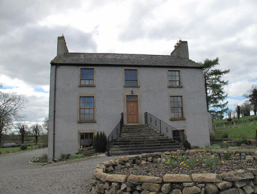 Kilcorran Househouse · 1210 yd
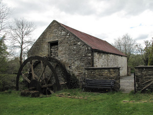 Drummans Millmill (water) · 1.2 mi
 Attack on Derryard checkpointterrorist attack · 1.7 mi
 Rough HillMountain / peak · 3.1 mi
 Jaundice WellSpring · 3.3 mi
 Sliabh Beagh Hotel and Tourism CentreVisitor information · 3.7 mi
 Western RedcedarWestern Redcedar · 4.5 mi
 Coast RedwoodCoast Redwood · 4.5 mi
 Roosky Castle (Site of)Castle, ringwork · 4.6 mi
 Lisarrilly HillMountain / peak · 4.8 mi